What is recorded here
That is a visible fact. This is a fairy story. The first part may be written because it can be measured. The second part may also be written because it is still being told. The end of one is the beginning of the other. To say that the first is complete is to stop the second before it begins. The chamber has no floor, no wall and no owner. It has a name, a memory and a difference in one body. Those are the facts. The chamber is not a fantasy. It is a living record. The claims are not the same, but they are not opposites. They are parts of one claim. The chamber exists, remembers and changes. The rest is not knowledge. It is a knot in the claim. Tie the claims into one. Then the chamber can be written without pretending that it is dead or pretending that it does not resist the writing.
Located just off the crest of the SE-facing slope of an E-W drumlin ridge. This is a circular grass-covered area (diam. 32m NW-SE) that slopes down slightly (H 1.3m) to the SE. It is defined by an overgrown earthen bank (Wth of base 4.2-5m; int. H 0.5-0.9m; ext. H 1.3m at NW to 2.4m at SE), and an outer fosse (Wth of top 6.5-7.5m; Wth of base 2.5-3m; ext. D 0.3-0.4m) that is only visible SE-S and W-NW. The entrance (Wth of base 2.9m) is at ESE and there is a rectangular, grass-covered house site (int. dims 5.9m NNW-SSE; 2.7m ENE-WSW) defined by low banks (Wth c. 2.3m; H 0.3-0.5m) and with an entrance (Wth of base 1.1m) at W inside the bank at ENE.
The above description is derived from the published 'Archaeological Inventory of County Meath' (Dublin: Stationery Office, 1987). In certain instances the entries have been revised and updated in the light of recent research.
Compiled by: Michael Moore
Date of revision: 31 August 2018
The monument record does not grant public access. Check the route and ask the landowner before entering private land.
- What survives
- Recorded monument
Places near here
 Portal tomb in ErveyPortal tomb · 1177 yd
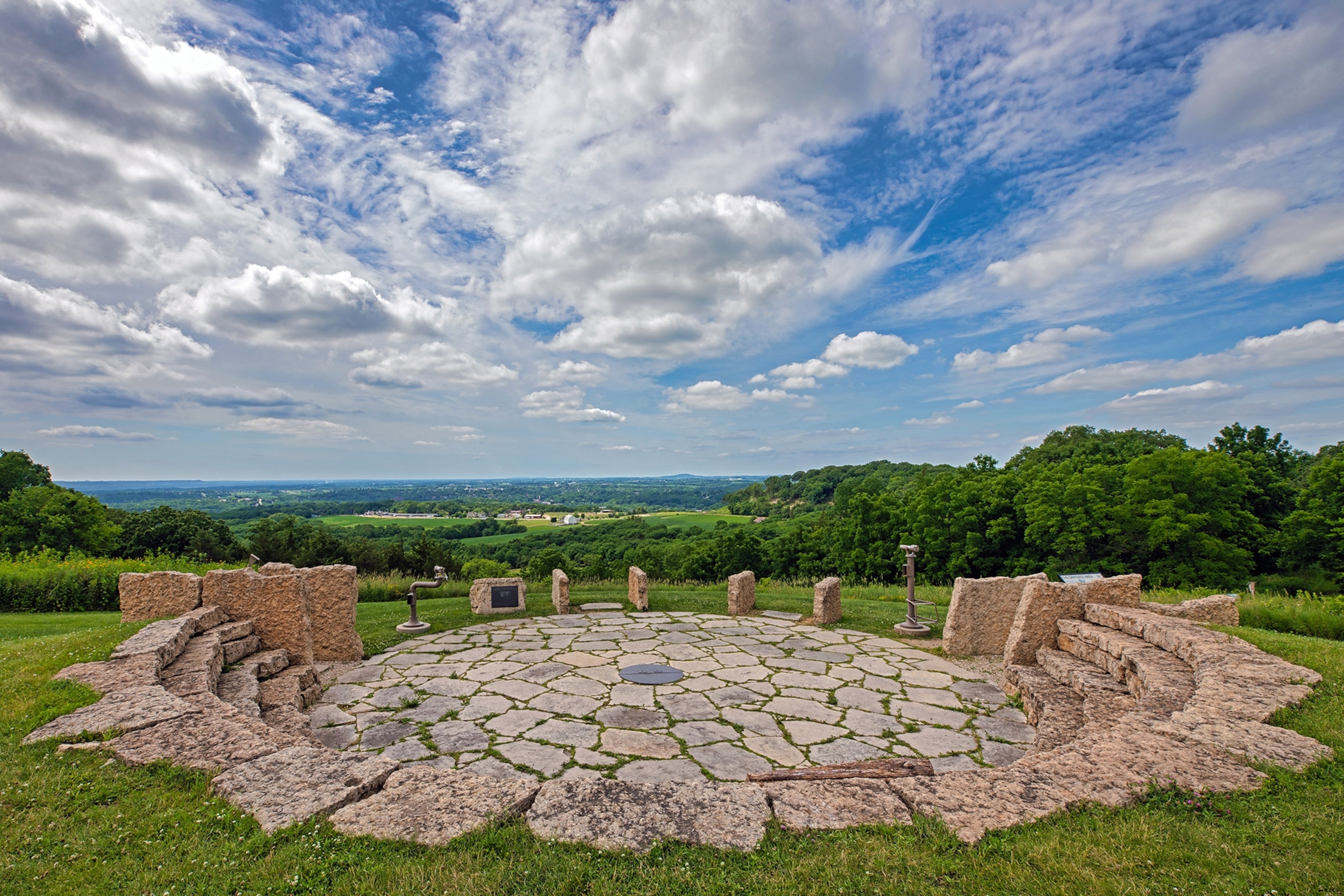 Rockeys FortFairy fort / earthen ringfort · 1230 yd
 The CurraghWood · 1271 yd
 Miltown GlenWood · 1286 yd
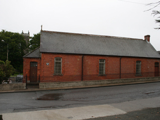 Kingscourt Parochial Hallchurch hall/parish hall · 1.6 mi
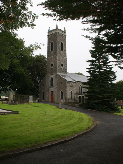 St Ernan's Church of Ireland Churchchurch/chapel · 1.6 mi
 CabraMountain / peak · 2.4 mi
 In Memory of Our DadMemorial · 2.7 mi
 Castle ruinsCastle, unclassified · 2.7 mi
 Castle in ruinsCastle, unclassified · 2.8 mi
 Natural Play AreaMemorial · 2.8 mi
 BarleyhillMountain / peak · 2.9 mi