What is recorded here
Situated on a slight rise, in gently undulating pasture, overlooked by higher ground to E and S, with good views in other directions. A pond lies c. 95m to SE. Depicted on the 1837 ed. OS 6-inch map as a roughly circular-shaped earthwork and depicted on the revised 1913 ed. OS 25-inch map as a sub-circular-shaped area with an indentation at SSW. Monument described in 1970 as a roughly circular-shaped area (dims. 61 N-S; 54m E-W) enclosed by an earthen bank with external fosse. The bank is visible from W-N-E-S, is almost reduced to a scarp from SSW-W and has several modern disturbance gaps. A large quarry hole has been dug into the scarp and extends into the SSW quadrant of the interior. The fosse is wide, steep-sided and flat bottomed from N-E-S-WNW and is filled up from ESE-SE-S and from WNW-NW-N. There is a modern causeway across the fosse at ENE. There are traces of a slight outer bank at E and W; two large stones lie on it at WSW. A gap (Wth at top 3.9m; basal Wth 1.8m) at SSE is the most convincing entrance, yet a gap (Wth at top 5.8m; basal Wth 2.3m) at N could also represent a potential entrance. The interior rises slightly from the perimeter toward the centre and has definite traces of cultivation ridges running WNW-ESE. Monument is visible as a partially tree-lined earthwork on Digital Globe aerial photography.
Compiled by Alison McQueen, Vera Rahilly and Caimin O’Brien.
Date of upload: 08 July 2019
The monument record does not grant public access. Check the route and ask the landowner before entering private land.
- What survives
- Recorded monument
Places near here
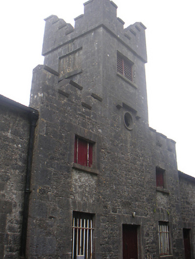 Lisnabin Castlestables, outbuilding · 520 yd
 EnclosureEnclosure, large enclosure · 581 yd
 TobermíonadHoly well · 1266 yd
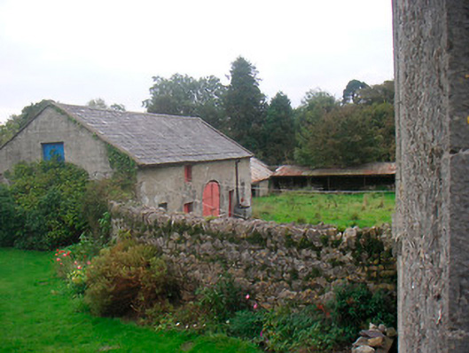 Huntingdon Houseoutbuilding · 1305 yd
 Bawn in Kerinstown and Balrowan (rowley)Bawn · 1334 yd
 Edmondstown Castle (in Ruins)Castle, tower house · 1.0 mi
 GinkgoGinkgo · 3.5 mi
 ScregganWood · 6.0 mi
 Croppies' GraveMemorial · 9.1 mi
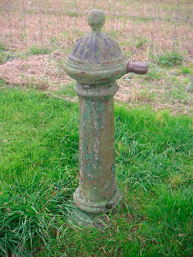 water pumpwater pump · 1573 yd
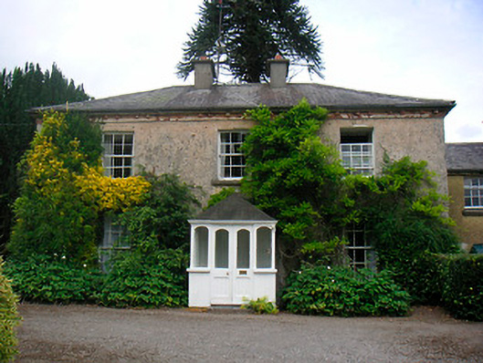 Greenhillshouse · 1.1 mi
 Tober LastraghHoly well · 1.2 mi