What is recorded here
Fairy fort in Lisleagh, County Cork: a stone‑faced earthen ring about fifty metres across, mapped in 1842, now partly levelled and hidden inside a field fence. Its remaining northern arc rises one and a half metres on each side, blending into ordinary fencing until the circle disappears. People may have lived there, marked territory, or excluded others from a boundary they believed sacred. The land still holds the shape of that choice, waiting for someone to stop treating it as a fence and start remembering it as a room.
In tillage, on gentle S-facing slope. Depicted on 1842 OS 6-inch map as hachured circular enclosure (diam. c. 50m) incorporated into field fence system at N. Levelled; arc (C c. 25m) formed by stone faced earthen bank (int. H 1.5m; ext. H 1.5m) survives to N in field fence system. Bank similar to field fence on either side of it; heavily overgrown.
The above description is derived from the published 'Archaeological Inventory of County Cork. Volume 4: North Cork' (Dublin: Stationery Office, 2000). In certain instances the entries have been revised and updated in the light of recent research.
Date of upload/revision: 14 January 2009
The monument record does not grant public access. Check the route and ask the landowner before entering private land.
- What survives
- Recorded monument
Places near here
 gate lodgegate lodge · 613 yd
 CastleBawn · 629 yd
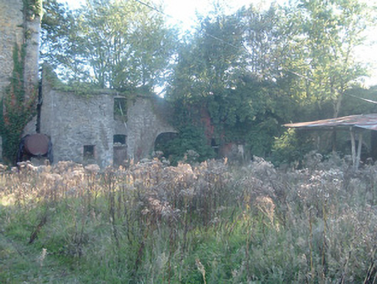 Ballyclogh Castlefarmyard complex · 645 yd
 IndicatedDesigned landscape, tree-ring · 658 yd
 Enclosure in Scart (orrery and Kilmore By., Ballyclogh Par.)Enclosure · 1.2 mi
 Castle (Remains of)Castle, unclassified · 1.6 mi
 Graveyard in Ballygiblin (duhallow By.)Graveyard · 2.6 mi
 Dromaneen CastleHeritage attraction · 3.1 mi
 European YewEuropean Yew · 4.3 mi
 In loving memory of Elvis O'DonoghueMemorial · 4.3 mi
 Burial ground in AssolasBurial ground · 4.6 mi
 Mount Hillary - Knightfield LoopWalking route · 6.1 mi