What is recorded here
No visible fort remains in Lislea, only a faint oval shadow beneath the grass where people once drew a line around their own lives. The land has forgotten the shape, but it has not forgotten the boundary.
On a very gentle S-facing slope in pasture. Depicted as an oval-shaped enclosure with the designation 'Fort' on the 1837 ed. of the OS 6-inch map. A report in 1976 (SMR file) recorded a raised oval area (c. 47m NW-SE; c. 36m NE-SW) enclosed by a substantial bank of earth and stone with fragmentary traces of an external fosse. Both the bank and fosse had been extensively modified and incorporated into a field boundary from W-N-NE. The original entrance may have been at E. The rath has since been levelled. Its location is marked by a low, irregular rise (H 0.2m).
Compiled by: Patrick F. O'Donovan
Date of upload: 16 January 2012
The monument record does not grant public access. Check the route and ask the landowner before entering private land.
- What survives
- Recorded monument
Places near here
 Enclosure in CartronbrackEnclosure · 433 yd
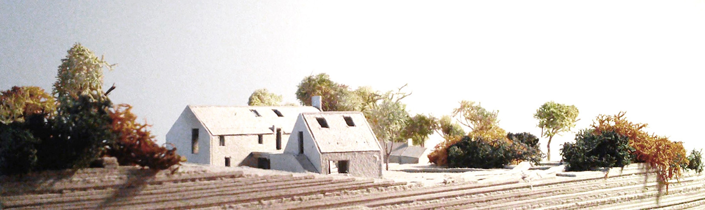 Enclosure in Lislea (moydow By.)Enclosure · 516 yd
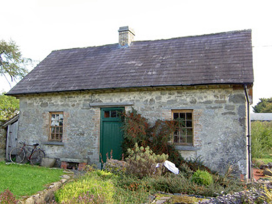 Lislea Housegate lodge · 766 yd
 Wall monument (present location) in LisglassockWall monument (present location) · 884 yd
 Barry CastleCastle, unclassified · 1.2 mi
 Mornin Castle (in Ruins)Castle, tower house · 1.5 mi
 Corlea Bog Walk Canal BranchWalking route · 2.6 mi
 Corlea Trackway Interpretative CentreHeritage attraction · 2.9 mi
 National Famine WayWalking route · 3.1 mi
 Graveyard in Curry (ardagh By., Coolamber Ed)Graveyard · 5.6 mi
 Leveret IslandIslet · 6.9 mi
 InchbofinIslet · 7.8 mi