What is recorded here
Fairy fort in Lislea, County Longford: a circular earthwork marked 'Fort' on the 1837 Ordnance Survey map, now hidden beneath pasture and memory. It may have been a homestead, a boundary marker, or a child's climbing hill before becoming a fairy fort in local speech. The land has swallowed its shape, but the name still circles like a ribbon tied around something lost.
On a low rise in well-drained pasture. Depicted as a circular enclosure with the designation 'Fort' on the 1837 ed. of the OS 6-inch map. The monument is not visible at ground level.
Compiled by: Patrick F. O'Donovan
Date of upload: 26 August 2011
The monument record does not grant public access. Check the route and ask the landowner before entering private land.
- What survives
- Recorded monument
Places near here
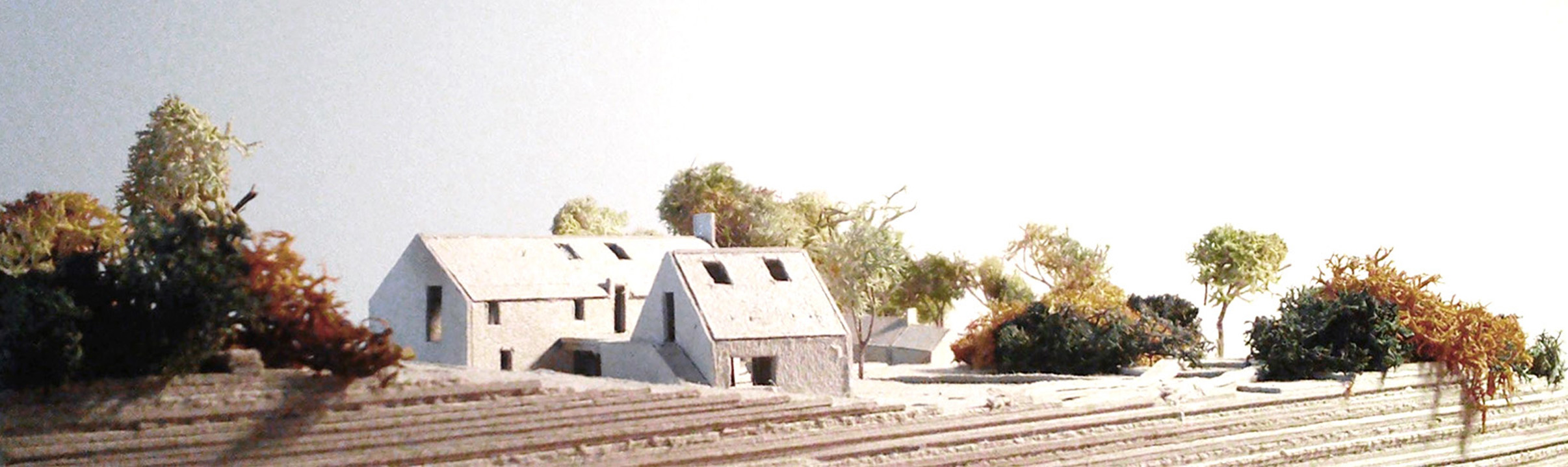 Enclosure in Lislea (moydow By.)Enclosure · 426 yd
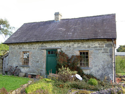 Lislea Housegate lodge · 451 yd
 IndicatedFairy fort / earthen ringfort · 650 yd
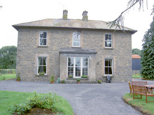 Laurel Lodgehouse · 850 yd
 Barry CastleCastle, unclassified · 1.4 mi
 Mornin Castle (in Ruins)Castle, tower house · 1.5 mi
 Corlea Bog Walk Canal BranchWalking route · 2.6 mi
 Corlea Trackway Interpretative CentreHeritage attraction · 2.9 mi
 National Famine WayWalking route · 2.9 mi
 Graveyard in Curry (ardagh By., Coolamber Ed)Graveyard · 5.5 mi
 Leveret IslandIslet · 7.0 mi
 InchbofinIslet · 7.9 mi