What is recorded here
Fairy fort / earthen ringfort in Lislea (dartree By., Currin Par.) stands just off the E end of an E-W drumlin ridge in County Monaghan, Ireland. Its circular grass-covered area spans 45m E-W and 43m N-S, bounded by a 5m wide earthen bank rising 2.2-3m externally and an outer fosse 4.5-5m across at the top. A widened 2.6m entrance at ESE leads directly into a modern farmyard, linking ancient defence to present-day life. The bank and hedge remain best preserved from S to NNW, while the fosse traces SW-N-NE.
Located just off the E end of an E-W drumlin ridge. This is a circular grass-covered area (diam. 45m E-W; 43m N-S) defined by an earthen bank (Wth c. 5m; int. H 0.6-1m; ext. H 2.2-3m) and hedge that is best preserved S-NNW, and an outer fosse (Wth of top 4.5-5m; ext. D 0.6-0.9m) SW-N-NE. There is a widened entrance (Wth of base 2.6m) at ESE leading to a modern farmyard.
The above description is derived from the published 'Archaeological Inventory of County Monaghan' (Dublin: Stationery Office, 1986). In certain instances the entries have been revised and updated in the light of recent research.
Compiled by: Michael Moore
Date of revision: 8 May 2018
The monument record does not grant public access. Check the route and ask the landowner before entering private land.
- What survives
- Recorded monument
Places near here
 CallowhillMountain / peak · 1163 yd
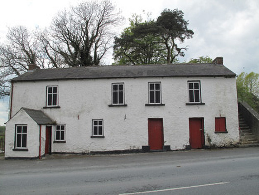 Scotshouse National Schoolschool · 1184 yd
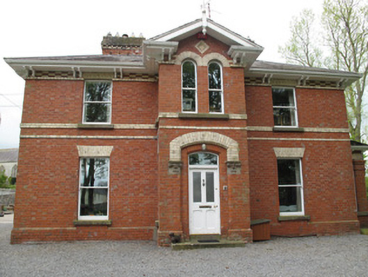 Currin Rectoryrectory/glebe/vicarage/curate's house · 1186 yd
 EnclosureEnclosure, large enclosure · 1190 yd
 SandhillsMountain / peak · 1323 yd
 CairnCairn, unclassified · 1543 yd
 The Dark WoodWood · 1747 yd
 The Beech WoodWood · 1.1 mi
 Drumcarn Ho.Castle, unclassified · 3.3 mi
 Bawn in KillyfanaBawn · 3.7 mi
 Ulster Canal Stores Visitor CentreHeritage attraction · 4.3 mi
 The Cassandra Hand CentreMuseum · 4.5 mi