What is recorded here
Stand on the top of a drumlin in County Monaghan and look around the circle of grass and scrub. A causeway still leads into the fort, and a dark channel cuts through the bank where a passage may have hidden people or memory. The shape has survived on maps since 1793, but the lives inside it have faded like breath on glass.
Located on top of a drumlin. This rath is represented on McCrea’s Map of County Monaghan (1793) and on later OS 6-inch maps. It is a circular grass and scrub-covered area (diam. 29m E-W; 27.5m N-S) that slopes down gently to the N (H 1.3m) defined by an overgrown earthen bank (Wth of base 2.5-3.6m; int. H 1.1-1.5m; ext. H 0.8-1m) with a distinct break in slope distinguishing it from a flat-bottomed fosse (Wth of top 5.6-6m; Wth of base 1.4-1.6m; int. D 1.7-2.4m; ext. D 0.6m at N to 1.8m at S), and an outer overgrown bank (Wth of base 4m; ext. H 0.7m) that only survives SE-W-NNW. There is a large entrance (Wth of base 2.1m) in the inner bank and a causeway (Wth of top 5m; H 0.6m) at SE. A N-S depression inside the perimeter at NW that cuts through the bank is probably a robbed Man-made underground passage. It consists of a grass-covered channel (dims 6.4m NNW-SSE; 2.5m E-W; D 1m) with a spur (L 4.5m; Wth 3.3m; D 1.4m) extending W from its centre.
The above description is derived from the published 'Archaeological Inventory of County Monaghan' (Dublin: Stationery Office, 1986). In certain instances the entries have been revised and updated in the light of recent research.
Revised by: Michael Moore
Date of revision: 30 January 2018
A fairy fort / earthen ringfort in Lisirril is a circular, grass-covered earthwork situated on a drumlin, likely dating to the early medieval period. It appears on 18th- and 19th-century maps, suggesting continuity of local recognition, and may have been associated with folklore related to fairies or ancient inhabitants, as is common with such sites in Irish tradition.
The monument record does not grant public access. Check the route and ask the landowner before entering private land.
- What survives
- Recorded monument
Places near here
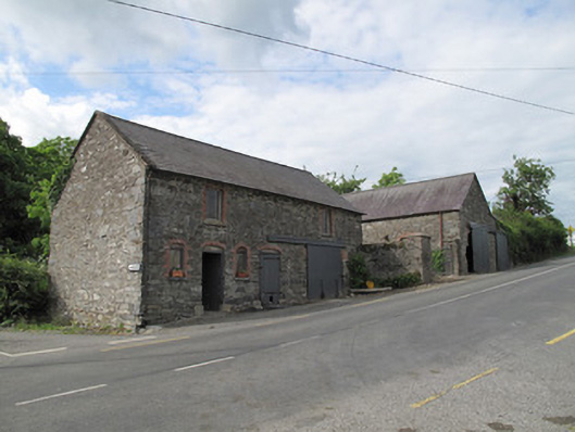 outbuildingoutbuilding · 637 yd
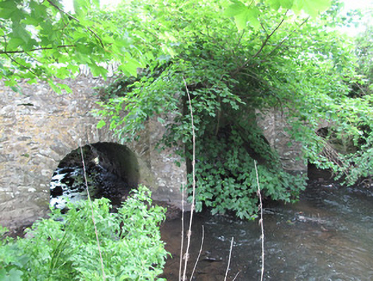 bridgebridge · 842 yd
 Trein Mors GraveMegalithic tomb · 926 yd
 IndicatedCrannog · 1359 yd
 Tally WoodWood · 1.9 mi
 CarrickcreenyMountain / peak · 2.4 mi
 Sillan LakeshoreWood · 2.8 mi
 Gull IslandIslet · 2.9 mi
 Senator Billy Fox 1939 - 1974Memorial · 2.9 mi
 Bush IslandIslet · 2.9 mi
 Bawn in LisdrumskeaBawn · 3.1 mi
 RaferaghMountain / peak · 3.7 mi