What is recorded here
You can still walk the causeway and read the banks because the fort is large enough to resist forgetting. The middle bank is the strongest, its flat top broad enough for several people to stand abreast, while the outer bank has thinned to a low ridge in places. The name fairy fort may be a story rather than a fact, but it fits the shape: a hidden chamber on a drumlin, made of earth, with an entrance still marked at the east.
Situated on the summit of a drumlin. This is a circular overgrown area (diam. 33m ENE-WSW) defined by three overgrown earthen banks and two intervening fosses (max. ext. diam. 85m ENE-WSW). The inner bank (Wth of base 11-12m; int. H 2m; ext. H 3m) is separated by a rounded fosse (Wth of top 10-11m; ext. D 1.3-1.7m) from the flat-topped middle bank (Wth of base 11m; Wth of top 3-4m; ext. H 2.2m) that has a slight lip on its outer edge SSE-SW. A second rounded fosse (Wth of top 8-9m; ext. D 0.7-1m) separates the middle from the remains of a third outer bank (Wth of base 5-6m; ext. H 1-1.2m) that only survives NNE-ENE and SSE-SW. The entrance though the inner (Wth of base 1.5m) and middle (Wth of base 1.1m) banks with traces of a causeway across the inner fosse is at E.
The above description is derived from the published 'Archaeological Inventory of County Monaghan' (Dublin: Stationery Office, 1986). In certain instances the entries have been revised and updated in the light of recent research.
Revised by: Michael Moore
Date of revision: 30 January 2018
The monument record does not grant public access. Check the route and ask the landowner before entering private land.
- What survives
- Recorded monument
Places near here
 IndicatedCrannog · 988 yd
 Corlat Old Schoolschool · 1037 yd
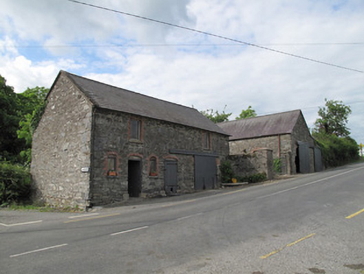 outbuildingoutbuilding · 1173 yd
 Trein Mors GraveMegalithic tomb · 1548 yd
 CarrickcreenyMountain / peak · 2.1 mi
 Tally WoodWood · 2.3 mi
 Senator Billy Fox 1939 - 1974Memorial · 2.6 mi
 Gull IslandIslet · 2.6 mi
 Sillan LakeshoreWood · 2.6 mi
 Bush IslandIslet · 2.7 mi
 Bawn in LisdrumskeaBawn · 2.9 mi
 RaferaghMountain / peak · 3.7 mi