What is recorded here
Fairy fort in Lisduff, County Longford: a 34-metre earthen ring with a shallow outside ditch and a north-east entrance, set near the top of a ridge above low pasture. It has since been levelled, leaving only a faint circular outline in the field. Whatever lived there has been erased by traffic, ploughs or time, but the shape still refuses to be forgotten.
A short distance off the highest point of a prominent NW-SE ridge in otherwise low-lying pasture. A report in 1975 (SMR file) recorded a raised circular area (diam. c. 34m) enclosed by a wide low bank of earth and stone with a shallow external fosse. The original entrance was at NNE. The rath has since been levelled and only the outline of its perimeter is identifiable.
Compiled by: Patrick F. O'Donovan
Date of upload: 16 January 2012
The monument record does not grant public access. Check the route and ask the landowner before entering private land.
- What survives
- Recorded monument
Places near here
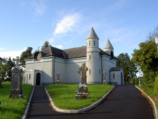 Saint James's Catholic Churchchurch/chapel · 1143 yd
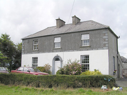 Firmount Housesteward's house · 1521 yd
 IndicatedFairy fort / earthen ringfort · 1610 yd
 Enclosure in Knockanbaun OR WhitehillEnclosure · 1.1 mi
 Moat & FortCastle, motte and bailey · 1.1 mi
 Clonfin Ambush MemorialMemorial · 1.2 mi
 RuinsCastle, unclassified · 1.3 mi
 Cloonfin WoodForest · 2.3 mi
 Ballinalee Forest WalkForest · 2.8 mi
 Bully's Acregraveyard/cemetery, unknown · 3.2 mi
 Edgeworthstown BypassMemorial · 3.7 mi
 Granard MotteMotte-and-bailey castle remains · 4.6 mi