What is recorded here
Half a metre of earth and four metres of base mark the whole boundary of Lisdadanan, yet that thin ring still holds its shape on the drumlin slope. People called it a fairy fort because the entrance vanished and the field banks cut through the perimeter like forgetfulness. Perhaps a household lived there until rain and ploughs erased the door, leaving only a shadow wide enough for doubt.
Located on the W-facing slope towards the S end of a N-S drumlin ridge. This is an overgrown oval area (dims c. 47m N-S; c. 30m E-W) defined by an earthen bank (at N: Wth of base 4.7m; int. H 0.5m; ext. H 0.55m). There is no visible fosse or identifiable original entrance and the perimeter is truncated slightly by an E-W field bank at S and a N-S field bank at W.
The above description is derived from 'The Archaeological Inventory of County Leitrim' compiled by Michael J. Moore (Dublin: Stationery Office, 2003). In certain instances the entries have been revised and updated in the light of recent research.
Compiled by: Michael Moore
Date of upload: 23 September 2008
Amended: 6 December 2019
The monument record does not grant public access. Check the route and ask the landowner before entering private land.
- What survives
- Recorded monument
Places near here
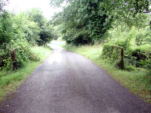 Lough Rynn Housebridge · 766 yd
 Giant's GraveArchaeological place · 1136 yd
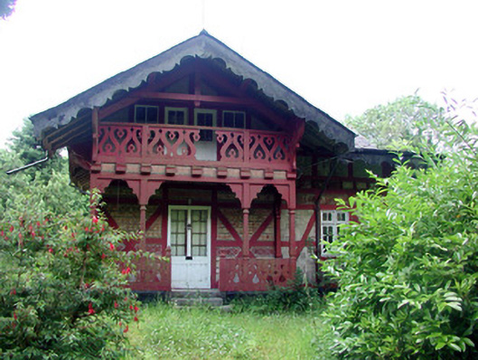 Swiss Cottagecottage ornee · 1195 yd
 Holy WellHoly well · 1238 yd
 IndicatedFairy fort / earthen ringfort · 1321 yd
 Little IslandIslet · 1493 yd
 Duck IslandIslet · 1603 yd
 Turlough O'Carolan MonumentHeritage attraction · 1.1 mi
 Lawson's CypressLawson's Cypress · 1.1 mi
 TuliptreeTuliptree · 1.1 mi
 CastleCastle, tower house · 1.3 mi
 OratoryCastle, tower house · 2.8 mi