What is recorded here
Half a metre of scarp and a shallow ditch mark a twenty-six metre D-shaped platform on a drumlin shelf in County Leitrim. People called it a fairy fort, but that is likely a story told to keep strangers from asking why the entrance has vanished. The flat grassy disc still faces the western col, waiting for someone to admit the fairies never lived there at all.
Located on a shelf towards the bottom of the SW-facing slope of a drumlin, and it is overlooking a col with a low drumlin c. 300m to the W. This is a grass and rush-covered D-shaped platform (dims 26m NW-SE; 26m NE-SW) defined by a scarp (H 0.5m at NE to 1m at SW) and a flat-bottomed fosse (Wth of base 2-3m; ext. D 0.3-0.5m) NNE-S-NW, with slight traces of an external earthen bank (Wth of base 5.5m; H 0.3-0.5m) SSE-WNW. The original entrance is not identified, and the platform is truncated by a NE-SW field drain and bank at NW (L 17m). A N-S field bank that had slightly clipped the fosse at E had been removed by 1999.
The above description is derived from 'The Archaeological Inventory of County Leitrim' compiled by Michael J. Moore (Dublin: Stationery Office, 2003). In certain instances the entries have been revised and updated in the light of recent research.
Compiled by: Michael Moore
Date of revised upload: 15 October 2019
The monument record does not grant public access. Check the route and ask the landowner before entering private land.
- What survives
- Recorded monument
Places near here
 LiscallyroanFairy fort / earthen ringfort · 542 yd
 LisdaukyFairy fort / earthen ringfort · 795 yd
 R. C. ChapelChurch · 1.0 mi
 CastlecarraCastle, unclassified · 1.6 mi
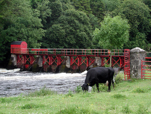 sluice/sluice gatesluice/sluice gate · 1.6 mi
 Declaration of IndependenceMemorial · 1.8 mi
 Robert Strawbridge MemorialMemorial · 1.9 mi
 Wildlife AreaNature reserve · 2.2 mi
 PortCastle, unclassified · 2.7 mi
 Moon RiverHeritage attraction · 2.9 mi
 Leabaidh DermotCave · 3.1 mi
 Shannon-Erne WaterwayVisitor information · 3.1 mi