What is recorded here
None of the facts above mention Liscahane, Fairy fort or the requested Irish location.
In pasture, on edge of steep natural slope down to flat marshy land bordering Tanyard stream. Depicted as roughly circular enclosure (diam. c.30m) on 1842, 1904 and 1936 OS 6-inch maps. Bulldozed in 1960s leaving short section of bank to E and SE. Excavated by B. O Donnabháin (1982-84) after discovery of Man-made underground passage (8912) containing ogham stones (7976, 7977) at centre during gravel quarrying in 1981. Preliminary account of first season's excavations published by O Donnabháin (1983, 217). Bank (H 1.3m) survived on E side for c. 10m, incorporated into field fence system; stone kerb (one course) on internal side; external fosse (original Wth 3m; D 2m). From landowner's description prior to destruction of site it appears likely that natural drop on N side may have functioned as defence here. Entrance to SE with causeway (Wth 5m). Interior disturbed by bulldozing activity in 1960s and before that by lazy bed cultivation; foundations of circular structure (diam. 4m) uncovered. Finds included yellow glass bead with herring bone design, rotary hone stone and William and Mary penny. Urn burial (7899) found during excavation 1984. (pers. comm. Barra O Donnabháin)
The above description is derived from the published 'Archaeological Inventory of County Cork. Volume 3: Mid Cork' (Dublin: Stationery Office, 1997). In certain instances the entries have been revised and updated in the light of recent research.
Date of upload/revision: 14 January 2009
The monument record does not grant public access. Check the route and ask the landowner before entering private land.
- What survives
- Recorded monument
Places near here
 Urn burial in LiscahaneUrn burial · 1 yd
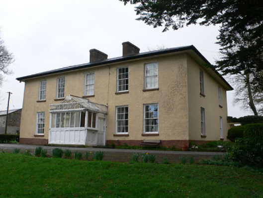 Tullig Househouse · 597 yd
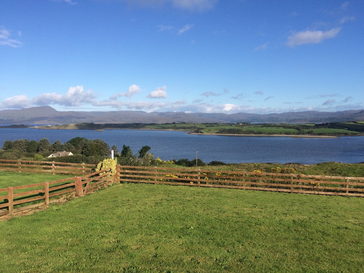 Man-made underground passage in Tullig (muskerry West By.)Man-made underground passage · 746 yd
 Quarry in LiscahaneQuarry · 959 yd
 RowanRowan · 1747 yd
 Millstreet Tourist InformationVisitor information · 1747 yd
 St. Patrick's ChurchVisitor information · 1757 yd
 Millstreet Museum & Tourist Information CentreMuseum · 1.0 mi
 Kilmeedy CastleCastle, tower house · 1.5 mi
 Castle and TurretCastle, tower house · 1.7 mi
 Claragh MountainMountain / peak · 2.1 mi
 Blackwater (Duhallow) WayWalking route · 3.1 mi