What is recorded here
Fairy fort in Lisavargy, County Monaghan: a 54m circular grass and scrub area on a drumlin ridge, with a scarp and outer fosse on the east and south, the rest lost into hedge and drain. People may have lived there, excluded others, and left the ring marked long after the doorway vanished.
Situated towards the S end of, and just N off the summit of a NNW-SSE drumlin ridge. This is a circular grass and scrub-covered area (diam. 54m N-S; 54m E-W) that slopes down to the E, which is defined by a scarp (Wth 1.7m; H 1m) and outer fosse (Wth of base 2.8m; ext. D 0.8m) E-S, but the perimeter is incorporated into a field hedge and drain elsewhere. There are modern gaps in the perimeter at ENE and W but the original entrance is not identified.
The above description is derived from the published 'Archaeological Inventory of County Monaghan' (Dublin: Stationery Office, 1986). In certain instances the entries have been revised and updated in the light of recent research.
Date of revision: 25 July 2017
The monument record does not grant public access. Check the route and ask the landowner before entering private land.
- What survives
- Recorded monument
Places near here
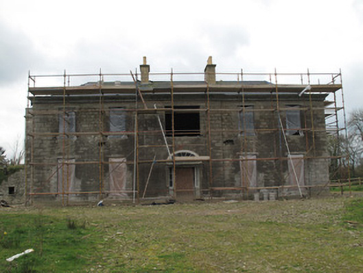 Fort Singletonhouse · 879 yd
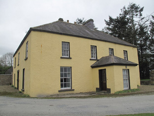 Dungillick Househouse · 968 yd
 IndicatedFairy fort / earthen ringfort · 969 yd
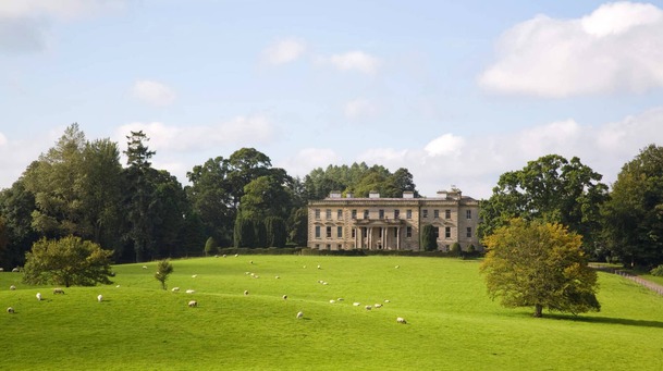 Hilltop enclosure in LenaghHilltop enclosure · 1007 yd
 Emyvale Heritage TrailVisitor information · 1.4 mi
 St. Muadain's WellSpring · 2.3 mi
 Coolberrin HillMountain / peak · 3.3 mi
 Sitka SpruceSitka Spruce · 4.3 mi
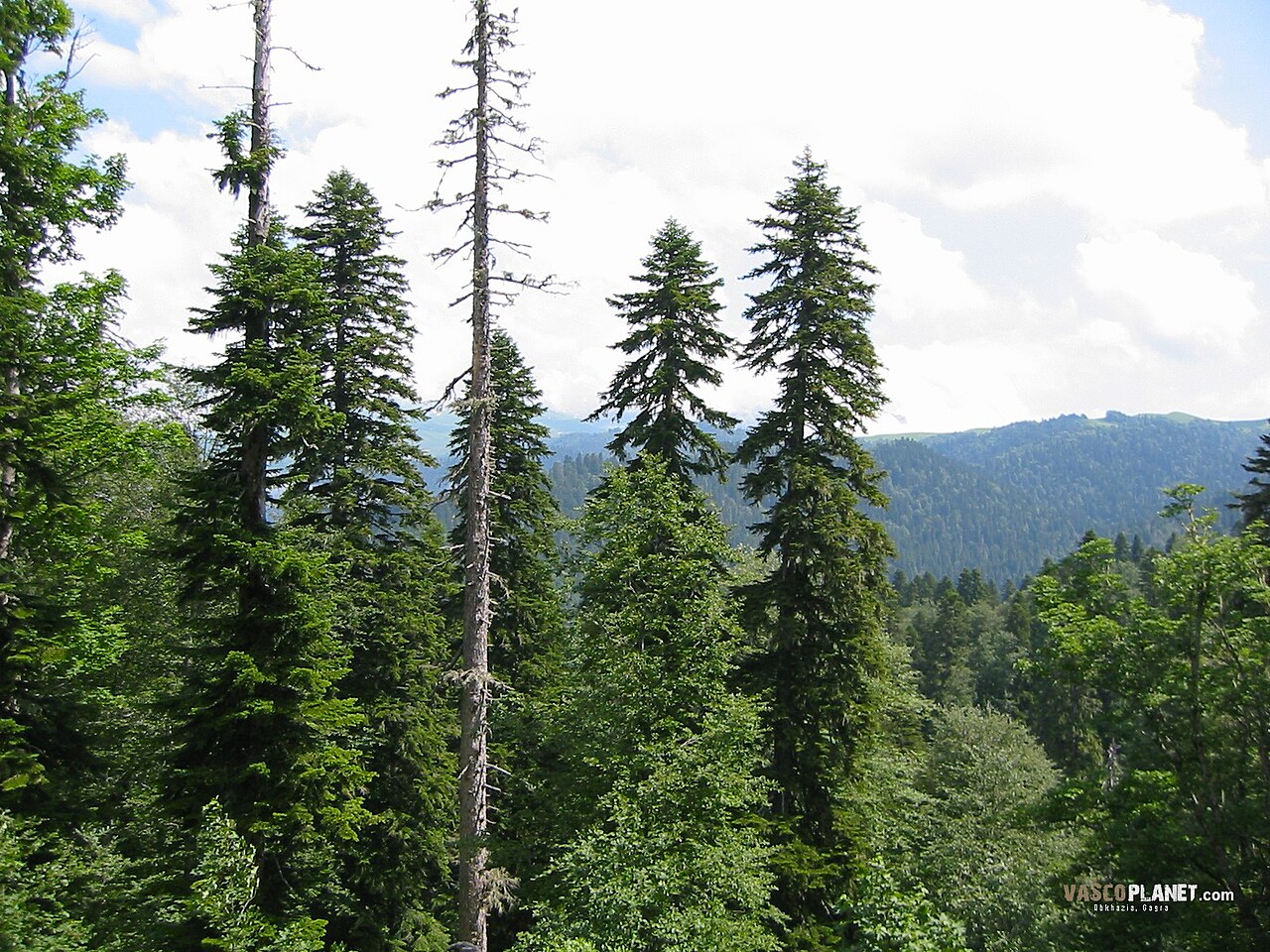 Caucasian FirCaucasian Fir · 4.3 mi
 RAVELLA CASTLE:HOUSE AND BAWN in RavellaRAVELLA CASTLE:HOUSE AND BAWN · 4.4 mi
 Sliabh Beagh WayWalking route · 4.6 mi
 Saint Patrick's ChairNamed rock · 4.7 mi