What is recorded here
Briars strangle the earthen bank and stone huts of Lios Na Mbóbhán, hiding a residence that once watched the Owenmore valley from a gentle slope. Two small dwellings still press against the enclosing wall, their corbelled roofs collapsed into grass and shadow. The western stone boundary may be a later replacement for an older earthwork, yet the hut built into it suggests continuity rather than erasure. What is certain is scale: twenty metres across, human in proportion, and old enough to have been forgotten twice.
Internal diam. 22.3m N-S, 20.7m E-W
A sub-circular enclosure, with 2 internal hut-sites, situated on a gentle W facing slope overlooking the Owenmore valley. The E half of the site is enclosed by an earthen bank with intermittent traces of drystone revetment walling. The W half is enclosed by a drystone wall which may be a later replacement. However, a hut-site in the interior is built against this wall suggesting that at least portion of it is original. A generous growth of briars and thorn trees prohibits a detailed examination. The earthen bank averages 1.2m in height and 1.75m in width at base. The wall averages c. 1m in height and c. 1m in width at base. There is a 1.7m wide entrance gap at NE. A 1.5m wide gap at ESE is probably secondary as a single course of the revetment walling continues across it.
(1) A circular stone hut, c. 3.95m in internal diameter, is built against the bank at E. The wall survives to a maximum height of 1.2m where it abuts the bank but the opposite side is now merely a low, grass-grown mound of collapse; it appears to be slightly corbelled. A raised area between this hut and the enclosing bank to S is defined on its W side by a low grass-grown stony bank and may be the very collapsed remains of another hut.
(2) A circular drystone-built hut also abuts the enclosure wall at W. Only the inner face which is incorporated into the enclosure wall survives; the remainder of the outline is defined by a very slight bank. The hut is 3.5m in internal diameter and the wall is a maximum of 1.7m high; the upper courses are slightly corbelled. The exterior of the enclosure wall bulges outwards at this point; this may represent portion of the original enclosing element which was later replaced by the present stone wall, but the immediate area is obscured by collapse and this interpretation is not certain. A recess in the wall of the hut extends back under this bulge but is also confused by collapse.
The above description is derived from J. Cuppage, ‘Corca Dhuibhne. Dingle Peninsula archaeological survey. Ballyferriter. Oidhreacht Chorca Dhuibhne’ (1986), no. 498. In certain instances the entries have been revised and updated in the light of recent research.
Date of upload: 7 August 2013
The monument record does not grant public access. Check the route and ask the landowner before entering private land.
- What survives
- Recorded monument
Places near here
 Man-made underground passage in Cill Mhuire (tc An Baile Dubh),lios Na MbóbhánMan-made underground passage · 305 yd
 Fulacht fia in An Choill Mhór (bar. Corca Dhuibhne)Fulacht fia · 732 yd
 Church in Cill An UrdráinChurch · 1.0 mi
 Séipéal Bhréanainn [Saint Brendan's Catholic Church]church/chapel · 1.1 mi
 Drom BeachBeach / strand · 1.5 mi
 An t'Oileán DubhIslet · 2.0 mi
 Sliabh na nGabharMountain / peak · 2.0 mi
 An CheapaighBeach / strand · 2.1 mi
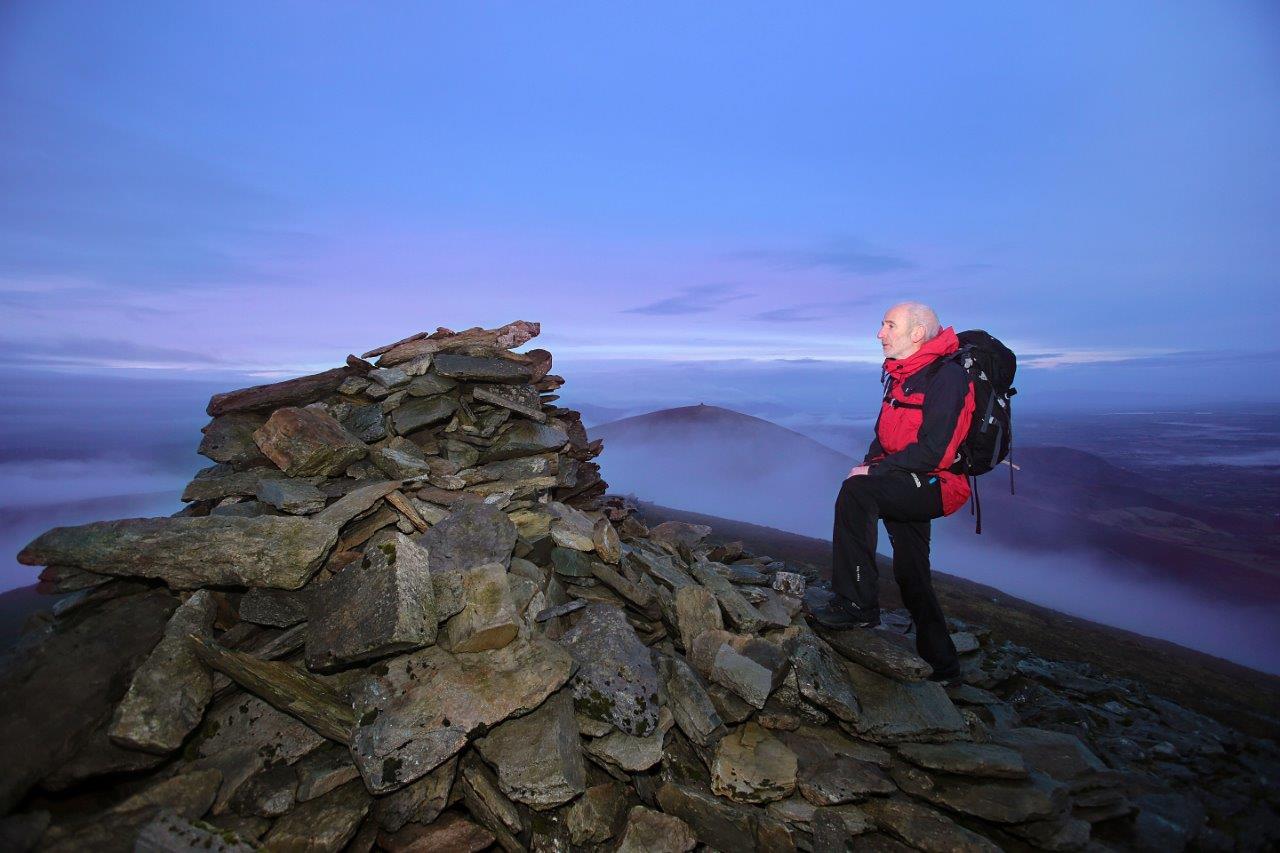 Sliabh Mhacha Ré (mullach thoir thuaidh)Mountain / peak · 2.1 mi
 Site of CastleCastle, unclassified · 2.2 mi
 Hillville WoodWood · 2.5 mi
 Maughanablagher CliffsCliff · 2.8 mi