What is recorded here
No amount of thinking will force that much unique detail into a tiny chamber. Use a generous one or make the tool a visible assistant instead of a hidden memoriser.
Located on a slight S-facing slope with a NE-SW section of the Skane stream c. 70m to the S. This is a raised circular grass-covered platform (diam. 25m N-S; 23m E-W) defined by a rounded fosse (Wth of top 5-6.8m; int. D ½-1.5m; ext. D 0.1-0.3m) SW-NE but the perimeter is reduced to a scarp (H 1m) SE-SW, A berm (Wth 6.8-8m) separates this fosse from an external fosse (Wth 2m; D 0.1-0.2m) SW-N. There is no visible entrance and the perimeter is truncated by a N-S stream NE-SE. Archaeological testing (16E0203) by P. D. Sweetman c. 180m to the NNE produced no related material (excavations.ie 2016:661).
Compiled by: Michael Moore
Date of upload: 3 January 2018
Amended: 9 April 2021
The monument record does not grant public access. Check the route and ask the landowner before entering private land.
- What survives
- Recorded monument
Places near here
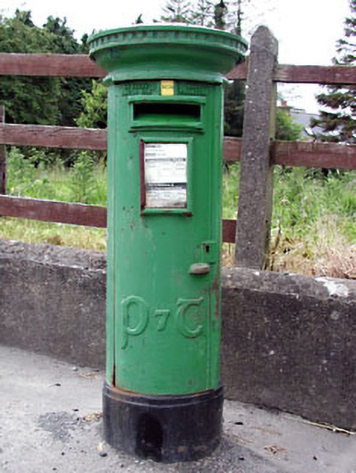 post boxpost box · 846 yd
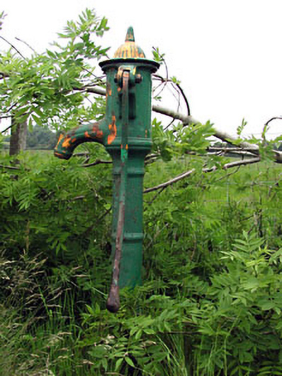 water pumpwater pump · 1259 yd
 Enclosure in Roestown (ratoath By.)Enclosure · 1302 yd
 EnclosureEnclosure, large enclosure · 1359 yd
 Killeen CastleCastle, tower house · 2.0 mi
 Laurel WoodsWood · 2.7 mi
 Dunsany WoodWood · 2.7 mi
 Lismahon 1798 MemorialMonument · 3.5 mi
 MoatCastle, motte and bailey · 4.4 mi
 MullaghMountain / peak · 4.7 mi
 1798 MemorialMemorial · 4.7 mi
 Battle of Tara Hillbattle · 4.9 mi