What is recorded here
Clankee By holds a broad earthen ring where a shallow ditch once bit into the ground. Its south-east gap still points toward the entrance, while an unexplained stony mound sits inside the western bank like a forgotten marker. The shape may have served as a fortress, a boundary or a warning, but the stones no longer answer that question.
Raised circular area (int. diam. c. 42m) enclosed by a low earthen bank and traces of a shallow fosse. Break in bank at SE probably represents original entrance. Lying inside the bank at W is a low stony mound of unknown significance.
The above description is derived from the published 'Archaeological Inventory of County Cavan' (Dublin: Stationery Office, 1995). In certain instances the entries have been revised and updated in the light of recent research.
Date of upload/revision: 22 December 2008
The monument record does not grant public access. Check the route and ask the landowner before entering private land.
- What survives
- Recorded monument
Places near here
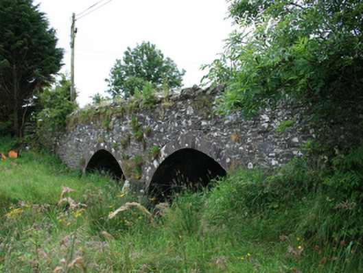 Wilton Bridgebridge · 868 yd
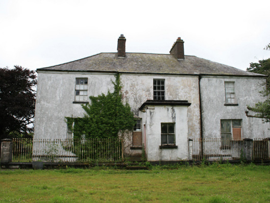 rectory/glebe/vicarage/curate's houserectory/glebe/vicarage/curate's house · 873 yd
 Tullynaskeagh WestForest · 1356 yd
 Tullynaskeagh EastForest · 1431 yd
 CastleCastle, motte · 1.0 mi
 Blackhills LowerMountain / peak · 1.1 mi
 CarnagarveMountain / peak · 1.5 mi
 MoatCastle, motte and bailey · 1.7 mi
 EnclosureEnclosure, large enclosure · 1.8 mi
 Grave YardGraveyard · 1.8 mi
 In Memory of Patrick KiernanMemorial · 2.4 mi
 Brothers GravesVisitor information · 2.4 mi