What is recorded here
Clearing the rot would reveal the entrance and show whether the fort resisted rain or invited it.
Raised circular area (int. diam. c. 30m) defined by a low scarp and a wide, partly waterlogged fosse. Wide, low outer bank running from SW-W-NNW may be an original feature. Original entrance not recognisable.
The above description is derived from the published 'Archaeological Inventory of County Cavan' (Dublin: Stationery Office, 1995). In certain instances the entries have been revised and updated in the light of recent research.
Date of upload/revision: 22 December 2008
The monument record does not grant public access. Check the route and ask the landowner before entering private land.
- What survives
- Recorded monument
Places near here
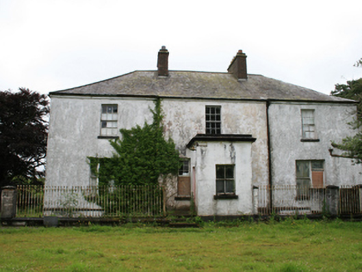 rectory/glebe/vicarage/curate's houserectory/glebe/vicarage/curate's house · 730 yd
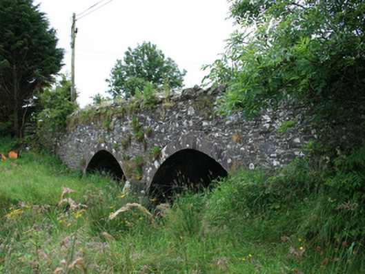 Wilton Bridgebridge · 890 yd
 Tullynaskeagh WestForest · 1357 yd
 Tullynaskeagh EastForest · 1520 yd
 CastleCastle, motte · 1715 yd
 Blackhills LowerMountain / peak · 1.1 mi
 CarnagarveMountain / peak · 1.5 mi
 MoatCastle, motte and bailey · 1.7 mi
 Grave YardGraveyard · 1.8 mi
 EnclosureEnclosure, large enclosure · 1.9 mi
 In Memory of Patrick KiernanMemorial · 2.4 mi
 Brothers GravesVisitor information · 2.4 mi