What is recorded here
Thirty-six metres of forgotten circle on a steep Donegal slope, never marked on any map despite a true rath crowning the hill above. The bank has been levelled to a ghost's whisper, yet the wide fosse still cuts the grass and the southern view remains unbroken. Perhaps people lived there before forgetting began, or perhaps the land simply shaped itself into a room for no one.
In pasture, located on the steep NW-facing slope of a high hill. This possible rath is not marked on any edition of the OS 6-inch maps. There are excellent views from SSW–NW; elsewhere views are obscured by a modern forestry plantation and higher ground. It has been partly levelled in the past, and is evident now as a slightly raised circular area (diam. 36m) defined by ephemeral traces of a levelled bank with a wide external fosse. The circuit can still be traced relatively clearly at SSE–WSW and NNE–E. At NE the original width of the bank can be gauged (Wth. c. 3.5m; present max. H above interior 0.1m) and the fosse is wide and round bottomed (Wth. c. 5m; present max. D below external ground level 0.25m). A rath (DG104-007----) crowns the top of the hill c. 170m to SE.
Compiled by: Jane O'Shaughnessy
Date of upload: 11 March 2020
The monument record does not grant public access. Check the route and ask the landowner before entering private land.
- What survives
- Recorded monument
Places near here
 Brownhallcountry house · 805 yd
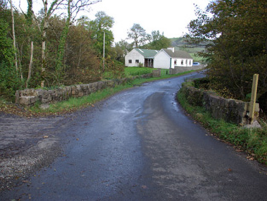 Rath Bridgebridge · 1319 yd
 Enclosure in Brownhall DemesneEnclosure · 1350 yd
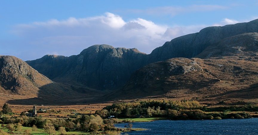 Ballydermot Earthen RingfortFairy fort / earthen ringfort · 1471 yd
 Castle (Site of)Castle, unclassified · 2.5 mi
 HawthornHawthorn · 3.5 mi
 MurvaghOfficial bathing water · 3.9 mi
 Rooney's IslandIslet · 4.1 mi
 Ballyboyle IslandIslet · 4.9 mi
 Ballyboyle Castle (Site of)Castle, tower house · 5.1 mi
 Wych ElmWych Elm · 5.3 mi
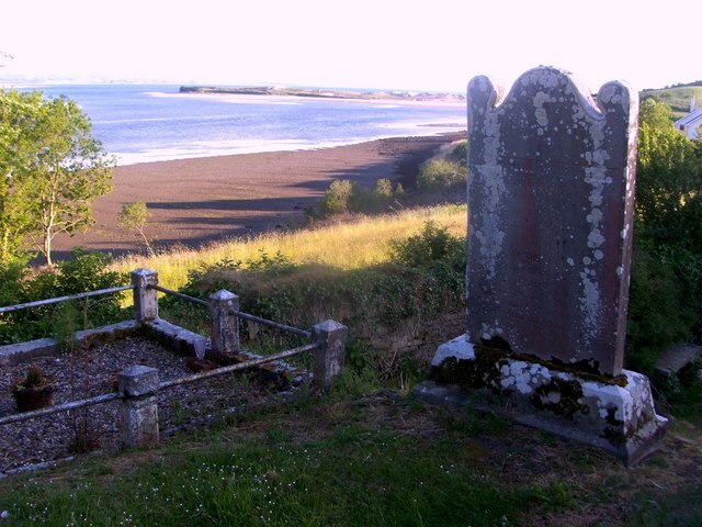 Killymard Old Church GraveyardGraveyard · 6.0 mi