
What is recorded here
In improved pasture, on level ground, with a fall of ground c. 50m to S into a stream valley. An erratic boulder (MA103-068----), named ‘Cloch na Crushlen’ on the OS 6-inch map, is located 90m to NW in the same field. Located in woodland c. 100m to N is an underground river passage, the roof of which has collapsed in parts to exposes the river in its rock-cut ravine. A possible bivallate enclosure is visible in aerial view as a circular cropmark (diam. c. 15-18m) enclosed externally at a distance of c. 8m by a second circular cropmark (diam. c. 35m). A linear cropmark on a NE–SW axis, probably a field boundary, truncates the NW–N edge of the larger circle. At ground level the remains are barely discernible. The outline of the central circular area (diam. c. 16m) can be traced SE–NW as a slight undulation/cropmark. A gap of 8-10m separates this from the outer circle, intermittent traces of which are evident as a slight undulation at S–W and at NW.
Compiled by: Jane O'Shaughnessy
Date of upload: 7 July 2015
A local fairy fort (ringfort/rath); wider significance not recorded.
The monument record does not grant public access. Check the route and ask the landowner before entering private land.
- What survives
- Recorded monument
Places near here
 Enclosure in Rockhill (cavangarden Ed)Enclosure · 496 yd
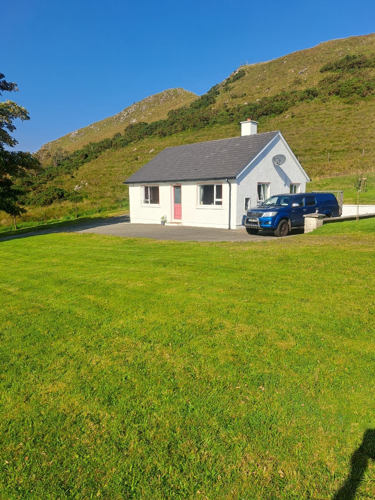 Rockhill Limestone-Terrace EnclosureEnclosure · 588 yd
 Brownhallcountry house · 766 yd
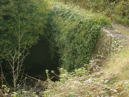 Aghadullagh Bridgebridge · 1224 yd
 Castle (Site of)Castle, unclassified · 1.8 mi
 HawthornHawthorn · 3.1 mi
 MurvaghOfficial bathing water · 3.3 mi
 Rooney's IslandIslet · 3.7 mi
 Ballyboyle IslandIslet · 4.5 mi
 Ballyboyle Castle (Site of)Castle, tower house · 4.6 mi
 RossnowlaghOfficial bathing water · 4.8 mi
 Wych ElmWych Elm · 5.0 mi
Other information
Photo: Credit not shown in the picture search · Rights wording not checked; contact us if this picture should be removed