What is recorded here
Fairy fort / earthen ringfort in Leggatinty is a fairy fort or earthen ringfort in Leggatinty, County Roscommon, Ireland. The circular grass-covered area measures about 24 metres across and sits on a low-lying level landscape near the Carricknabraher River. A low earthen bank and scarp define its boundary, while no visible fosse or entrance remains.
On a low-lying level landscape with the W-E Carricknabraher River c. 20m to the NE. Circular grass-covered area (diam. c. 24m) defined by a low earthen bank (Wth 6.5-6.8m; int. H 0.2-0.4m; ext. H 0.7m) SW-W and at E, and by a scarp (H 0.6m) elsewhere. There is no visible fosse or entrance.
Compiled by: Michael Moore
Date of upload: 24 August 2010
The monument record does not grant public access. Check the route and ask the landowner before entering private land.
- What survives
- Recorded monument
Places near here
 Not inidicatedFairy fort / earthen ringfort · 561 yd
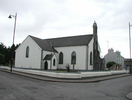 Saint Asicus's Catholic Churchchurch/chapel · 793 yd
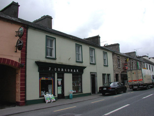 J. Corcoranhouse · 809 yd
 Stone CrossCross, High cross · 822 yd
 Frenchpark Ho.Castle, unclassified · 1698 yd
 Gray's WoodForest · 1.6 mi
 Square WoodForest · 1.7 mi
 IndicatedBawn · 1.9 mi
 Fairymount HillMountain / peak · 3.6 mi
 Bawn IslandIslet · 3.8 mi
 Rose PointHeadland · 5.2 mi
 Castle PointHeadland · 6.0 mi