What is recorded here
Located on a shelf or rise just off the crest of the W-facing slope of a small drumlin. This is a subrectangular or D-shaped grass-covered area (dims 31.5m NW-SE; c. 30m NE-SW) sloping down to the SW defined by an earthen bank (at SE: Wth 3.3m; int. H 0.5m; ext. H 0.8m) and hedge E-S, which is reduced to a scarp (H 0.9m at NW to 2m at SW) SW-N-NE. There is a sharp angle in the perimeter at S, and there is no visible fosse. There are gaps at SSW, WSW and N, but none is identified as an original entrance.
The above description is derived from the published 'Archaeological Inventory of County Monaghan' (Dublin: Stationery Office, 1986). In certain instances the entries have been revised and updated in the light of recent research.
Date of revision: 27 June 2017
The monument record does not grant public access. Check the route and ask the landowner before entering private land.
- What survives
- Recorded monument
Places near here
 Flat cemetery in AnnaheanFlat cemetery · 918 yd
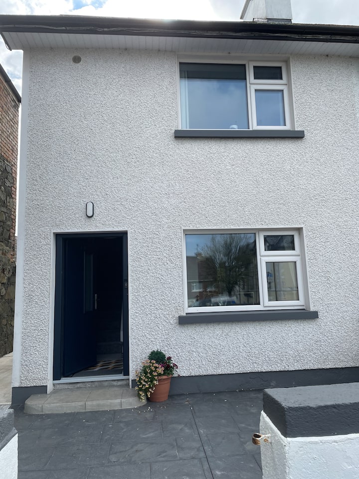 Fulacht fia in Drumgeeny (farney By)Fulacht fia · 1080 yd
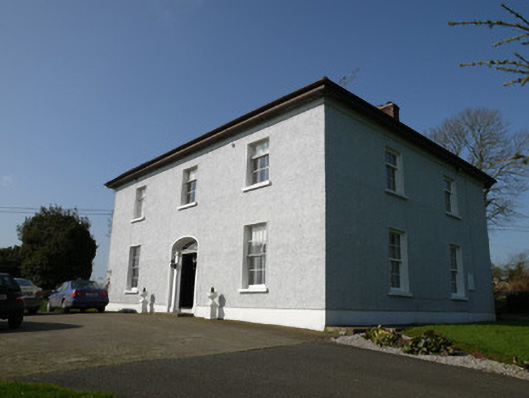 Annahean Househouse · 1292 yd
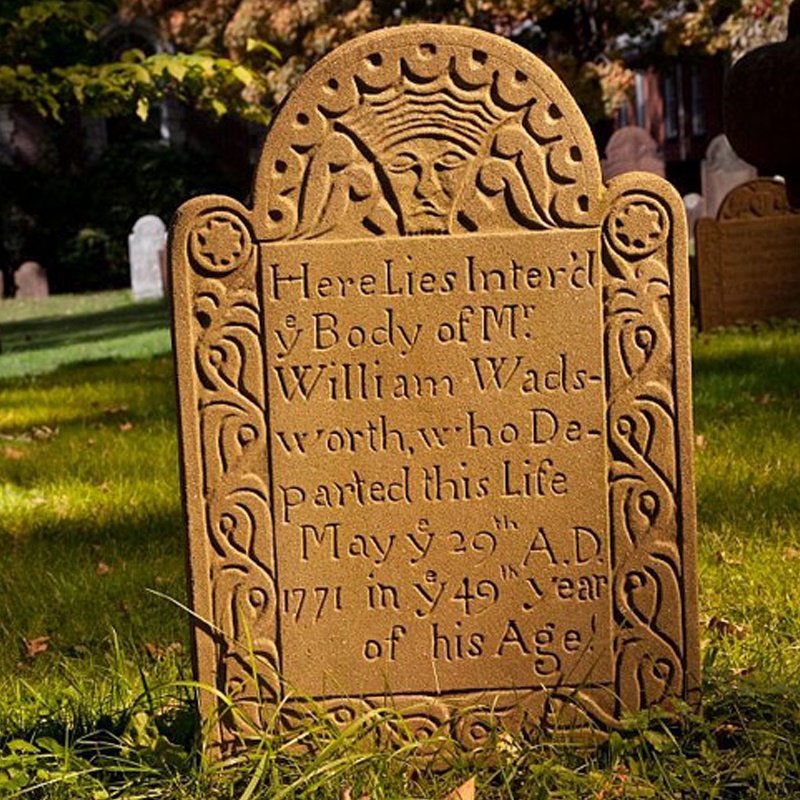 Ancient Burying GroundEcclesiastical enclosure · 1326 yd
 CastleCastle, motte and bailey · 1565 yd
 Church in Killark (farney By.)Church · 1.1 mi
 Lagan castleCastle, tower house · 1.5 mi
 Matthew's HillMountain / peak · 3.9 mi
 Monkey-puzzleMonkey-puzzle · 3.9 mi
 BarleyhillMountain / peak · 4.4 mi
 Horse-chestnutHorse-chestnut · 4.6 mi
 Sir Frederick Foster MemorialMemorial · 6.8 mi