What is recorded here
No human has mapped the Leckanarainey fort, yet grass still holds a twenty-metre circular platform above the Glenade valley. That much is visible from above. The hidden entrance and vanished boundary belong to the region’s older, less documented life.
Located on top of a gentle rise on the floor of the NW-SE Glenade valley with the NW-SE Bonet River c. 90m to the SW. It is not marked on any map but is visible as a circular feature on aerial photographs (OSAP: 5/6932-1). This is a grass-covered D-shaped platform (dims 22m NNE-SSW; c. 16m WNW-ESE) defined by a slight scarp, but it is truncated by a relict NNE-SSW field bank at NW. The original entrance is not identified
The above description is derived from 'The Archaeological Inventory of County Leitrim' compiled by Michael J. Moore (Dublin: Stationery Office, 2003). In certain instances the entries have been revised and updated in the light of recent research.
Date of upload: 23 September 2008
The monument record does not grant public access. Check the route and ask the landowner before entering private land.
- What survives
- Recorded monument
Places near here
 Altar (Site of)Mass-rock · 1011 yd
 St. Patricks WellHoly well · 1395 yd
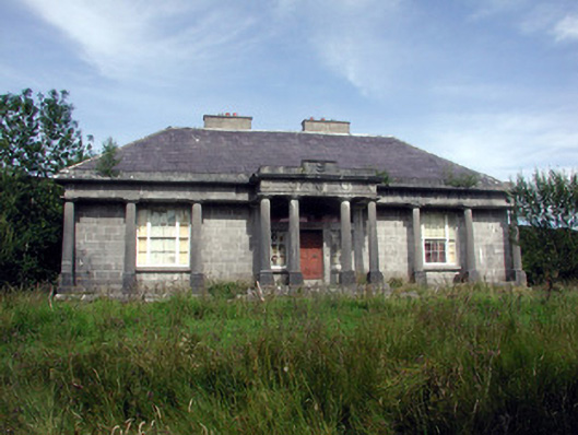 Glenade Housecountry house · 1.2 mi
 Longhill WoodForest · 1.5 mi
 Ashisland WoodForest · 1.6 mi
 RC ChapelChurch · 1.9 mi
 Agow TopMountain / peak · 2.0 mi
 Castle CarCastle · 2.1 mi
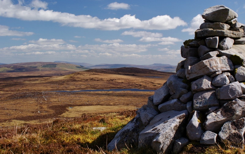 Aganny TopMountain / peak · 2.7 mi
 Kilroosk RockNamed rock · 2.7 mi
 CastleCastle, unclassified · 4.2 mi
 Giants RockNamed rock · 4.4 mi