What is recorded here
Rain fills the outer ditch every winter, turning the fort into a dark mirror that reflects the sky instead of the land. The earth bank still stands nine metres wide along parts of its length, though age has softened its edge. A person who entered from the east would have climbed slightly, placed one foot on raised ground and the other in water, and become aware of both at once. The fort does not ask to be believed. It asks to be felt, which is harder and more honest.
National Monument No. 640. Straddling the top and the upper E-facing slope of a drumlin. A raised oval area (c. 38m ENE-WSW; 35.5m NNW-SSE) enclosed by a substantial, although partially eroded, bank of earth and stone (Wth 5.8-9m; H 0.9-1.9m) with a wide, deep, waterlogged external fosse (Wth 5.9-7m; D 0.2-1.65m). A report in 1985 (SMR file) recorded that the original entrance may have been at E.
Compiled by: Patrick F. O'Donovan
Date of upload: 26 August 2011
The monument record does not grant public access. Check the route and ask the landowner before entering private land.
- What survives
- Recorded monument
Places near here
 IndicatedFairy fort / earthen ringfort · 474 yd
 Derrycassan WoodsWood · 1.0 mi
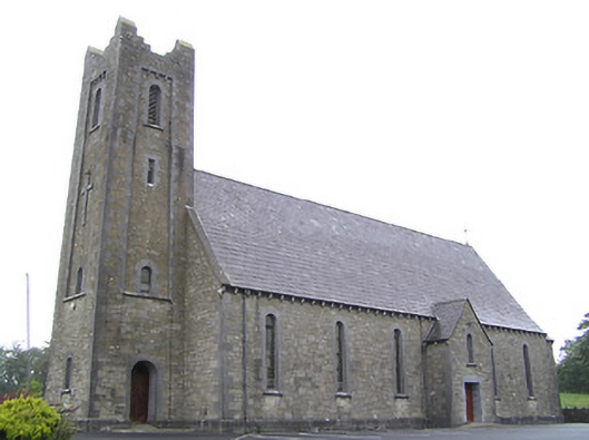 Saint Columba's Catholic Churchchurch/chapel · 1.2 mi
 St. Columbas R.C. ChurchChurch · 1.2 mi
 Enclosure in AghanoranEnclosure · 1.2 mi
 Mulrick WoodlandForest · 1.3 mi
 InchmoreIslet · 1.5 mi
 Cloone Ho.Castle, unclassified · 1.9 mi
 CornagranMountain / peak · 1.9 mi
 Arnaghan SouthMountain / peak · 1.9 mi
 Scrabby IslandIslet · 2.0 mi
 BawnBawn · 4.0 mi