What is recorded here
Bailocke Mountain casts its shadow across the vanished fort in Laharan, where a thirty-metre circular enclosure once held its ground before ploughs erased it. The earth swallowed the rampart and doorway, leaving only a subtle break in the pasture slope for modern eyes to imagine. Whatever life moved inside that lost circle has returned to the soil, yet the mountain still watches the empty field where human hands shaped the land.
In level pasture, on break of N-facing slope at base of Bailocke Mountain. Depicted as hachured circular enclosure (diam. c. 30m) on 1842 OS 6-inch map. Levelled; no visible surface trace. May either be fort recorded by Bowman (1934, 574) as levelled single-ramparted fort (diam. c. 34yd) on Mr Bolster's land or levelled fort in J. Scanlon's of which 'no sign' remains. Circular enclosure (CO041-014---) lies c. 150m to E in adjoining field.
The above description is derived from the published 'Archaeological Inventory of County Cork. Volume 4: North Cork' (Dublin: Stationery Office, 2000). In certain instances the entries have been revised and updated in the light of recent research.
Date of upload/revision: 14 January 2009
The monument record does not grant public access. Check the route and ask the landowner before entering private land.
- What survives
- Recorded monument
Places near here
 CaveMan-made underground passage · 352 yd
 LissaleaFairy fort / earthen ringfort · 531 yd
 Saint Abigail's Wellholy well · 1.1 mi
 Bweeng LittleMountain / peak · 1.2 mi
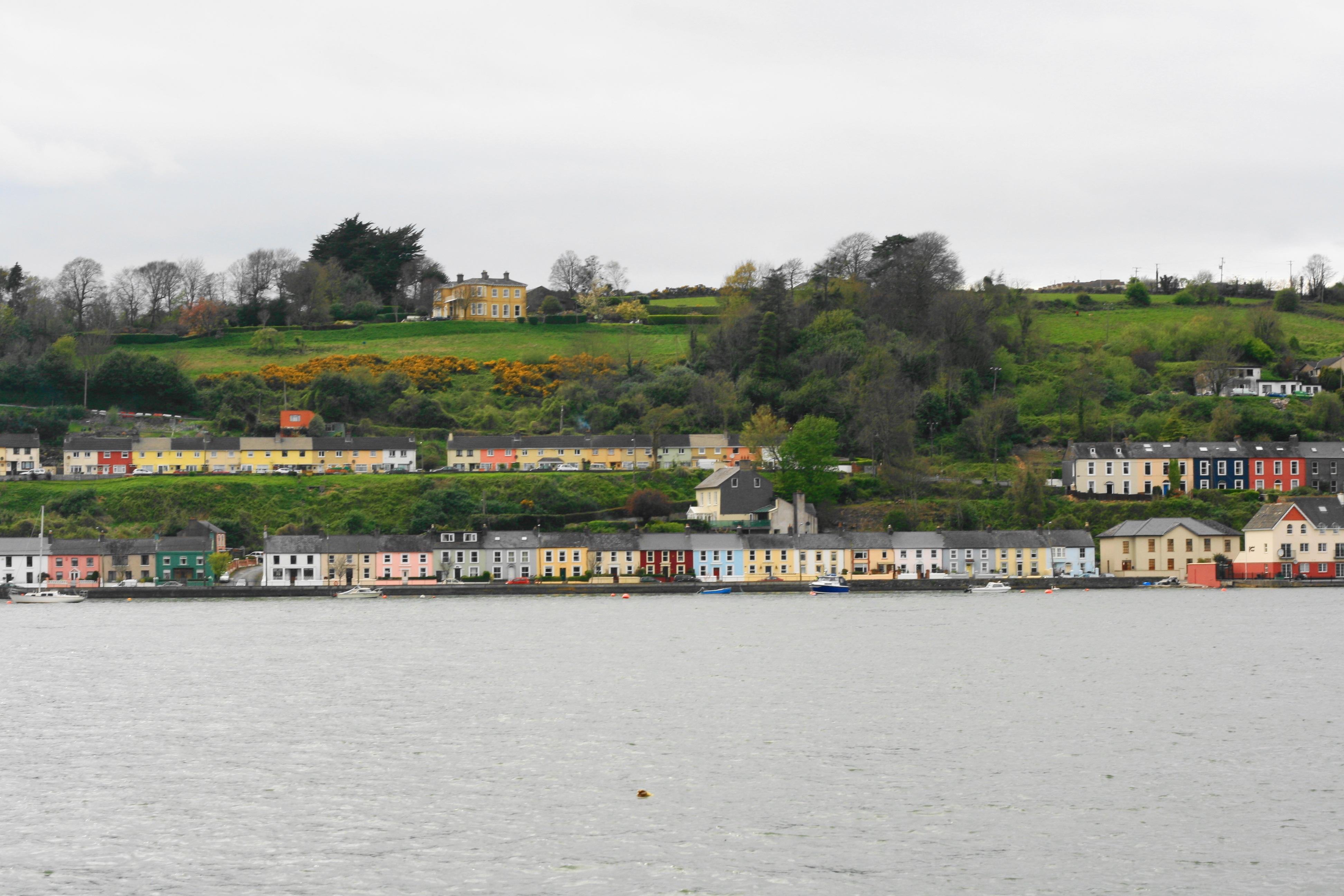 Church in Ballynoe (duhallow By., Kilshannig Par.)Church · 1.4 mi
 Mount HillaryMountain / peak · 2.8 mi
 Gurteenkreen Castle (Site of)Castle, unclassified · 3.3 mi
 Mount Hillary - Mount Hillary LoopWalking route · 3.5 mi
 Mount Hillary - Knightfield LoopWalking route · 3.6 mi
 Dromaneen CastleHeritage attraction · 3.9 mi
 CastleCastle, unclassified · 4.9 mi
 St Fursey's WellSpring · 5.1 mi