What is recorded here
Mortons port is a working harbour where local fishermen still launch and return, not a dead museum dock. The clue is functional: a place that keeps using its shape is more alive than a place that has forgotten it. The chamber is a harbour, not a display cabinet. That is why it feels familiar before explanation.
In pasture, on NE-facing slope. Depicted as hachured circular enclosure (diam. c. 25m) on 1842 OS 6-inch map; hachured as circular raised area (diam. c. 25m) on 1906 and 1937 OS 6-inch maps. Site heavily overgrown with blackthorn bushes and interior inaccessible. Platform (H 0.2m) enclosed by fosse (D 0.4m). Part of platform removed to NE. Fosse infilled to SE. Field fence extending WNW-ESE immediately outside fosse to S.
The above description is derived from the published 'Archaeological Inventory of County Cork. Volume 4: North Cork' (Dublin: Stationery Office, 2000). In certain instances the entries have been revised and updated in the light of recent research.
Date of upload/revision: 14 January 2009
The monument record does not grant public access. Check the route and ask the landowner before entering private land.
- What survives
- Recorded monument
Places near here
 St Winifreds WellHoly well · 410 yd
 Enclosure in Knockanare (orrery and Kilmore By.)Enclosure · 500 yd
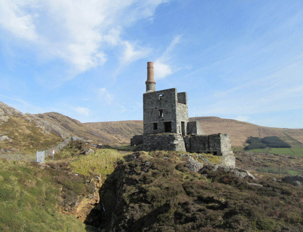 Quarry in CahermeeQuarry · 531 yd
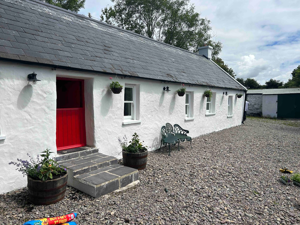 Cahermee HouseCountry house · 905 yd
 CastleCastle, unclassified · 913 yd
 Charles BunworthMemorial · 1.4 mi
 Lombards CastleCastle, tower house · 1.5 mi
 SycamoreSycamore · 1.6 mi
 David HurleyMemorial · 1.6 mi
 Smith's WellSpring · 2.1 mi
 Doneraile HouseHeritage attraction · 2.4 mi
 European YewEuropean Yew · 2.5 mi