What is recorded here
Lackenroe held two circular fortresses, one erased and one fading, proving that human ambition often becomes soil again. The first vanished entirely while the second still bumps the grass, suggesting memory itself has layers. People built rings around life, believed they would last, and the land quietly took them back.
In pasture, on N-facing slope. Shown as circular enclosure (diam. c. 30m) on 1842 OS 6-inch map. Levelled; no visible surface trace. Levelled ringfort (CO064-069---) c. 350m to W.
The above description is derived from the published 'Archaeological Inventory of County Cork. Volume 2: East and South Cork' (Dublin: Stationery Office, 1994). In certain instances the entries have been revised and updated in the light of recent research.
Date of upload/revision: 14 January 2009
The monument record does not grant public access. Check the route and ask the landowner before entering private land.
- What survives
- Recorded monument
Places near here
 Carberrytown WoodWood · 1123 yd
 Country house in Ballynagaul (barrymore By., Kilquane Par.)Country house · 1388 yd
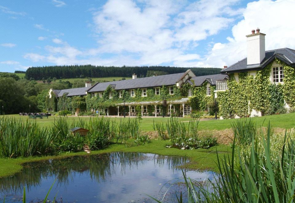 Brooklodge HouseCountry house · 1468 yd
 IndicatedFairy fort / earthen ringfort · 1.1 mi
 Church (Site of)Church · 1.1 mi
 Old Court (Site of)Castle, unclassified · 1.2 mi
 Ashbourne ParkWood · 1.3 mi
 Harper's IslandIslet · 2.1 mi
 Sarsfields Court (in Ruins)Castle, unclassified · 2.8 mi
 Goat IslandIslet · 4.9 mi
 Cork WalksVisitor information · 5.6 mi
 Be Framed Fine Art GalleryGallery · 5.7 mi