What is recorded here
Situated on a gentle NNE-Facing slope, in pasture with good views to N, E and NW. Monument described in 1971 as a large roughly circular-shaped area (diam. 44m) enclosed by a bank and external fosse. The bank is best preserved from SE-S-SW and is almost reduced to a scarp in places and is much disturbed by several small gaps. The exterior of the bank has been steepened and modified to form part of a modern field fence. The deep U-shaped external fosse is best preserved from SE-S-SW and is almost completely filled up from NE-E-SE. The original entrance is not visible. The interior has a gentle SSW-facing slope with traces of cultivation ridges running NNE-SSW.
Compiled by: Alison McQueen, Vera Rahilly and Caimin O’Brien
Date of upload: 15 July 2019
The monument record does not grant public access. Check the route and ask the landowner before entering private land.
- What survives
- Recorded monument
Places near here
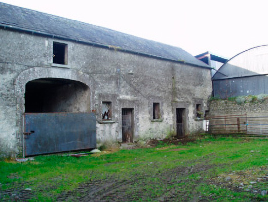 Lackan Lodgeoutbuilding · 292 yd
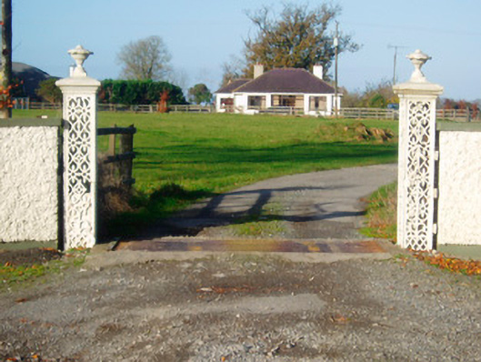 Lacken Lodgegates/railings/walls · 454 yd
 OutlinedFairy fort / earthen ringfort · 530 yd
 Kilfaughny CastleCastle · 688 yd
 IndicatedCrannog · 1307 yd
 Bawn in Cannorstown (hogan)Bawn · 1.0 mi
 Killinure BayBay · 2.9 mi
 Portlick Millennium ForestWood · 3.0 mi
 Traveen BayBay · 3.1 mi
 Noughaval CemeteryArchaeological place · 3.2 mi
 Leveret IslandIslet · 3.3 mi
 Temple's IslandIslet · 3.4 mi