What is recorded here
Fairy fort in Kyletaun: embanked circular enclosure, about twenty-five metres across, stood atop a low limestone hillock in pasture. The 1841 Ordnance Survey map still draws its ring, but the field has been levelled and the boundary lines erased with it. What remained is a flat place where a shape once stood, perhaps watched, perhaps forgotten.
In pasture, atop low limestone hillock. Monument, depicted as embanked circular enclosure (diam. c. 25m) on 1841 OS 6-inch map, has been levelled. No trace of monument evident when inspected. Surrounding field boundaries have also been levelled.
Compiled by: Denis Power
Date of upload: 26 August 2011
The monument record does not grant public access. Check the route and ask the landowner before entering private land.
- What survives
- Recorded monument
Places near here
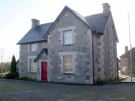 Irish Palatine Heritage Centrerailway station, goods shed · 751 yd
 Fulacht fia in CastlematrixFulacht fia · 913 yd
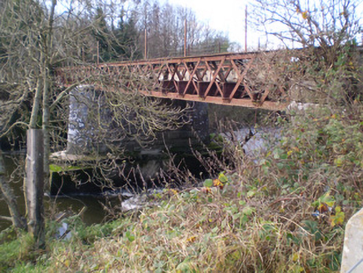 bridgebridge · 955 yd
 Castle MatrixCastle, tower house · 998 yd
 Glebe CastleCastle · 1135 yd
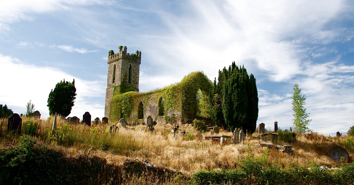 Grave YardGraveyard · 1274 yd
 TobernablahySpring · 1.3 mi
 St. Kieran's WellSpring · 2.4 mi
 European ashEuropean ash · 2.8 mi
 Flat cemetery in CroaghFlat cemetery · 3.1 mi
 Little HeavenHeritage attraction · 5.6 mi
 Curraghchase Forest ParkForest · 6.0 mi