What is recorded here
Fairy fort / earthen ringfort in Knockroe (Moycarky parish) is a fairy fort or earthen ringfort in Knockroe (Moycarky parish), County Tipperary, Ireland. A 1952-3 map showed a large, roughly circular enclosure that appears to have had two banks on the southwest-facing slope of a gentle rise. The archaeological account recorded the site as completely levelled and occupied by a large silage pit and sheds. The farmer said the sheds had been built about ten years earlier.
Situated on the SW-facing slope of a gentle undulating rise, in pasture. Indicated on the 1952-3 ed. OS 6-inch map as a large, rougly circular enclosure which appears to have been bivallate. The site is completely levelled with a large silage pit and sheds now occupying the area. The sheds were built c. 10 years ago according to the local farmer. Site not visible at ground level.
The above description is derived from 'The Archaeological Inventory of County Tipperary. Vol. 1 - North Tipperary' compiled by Jean Farrelly and Caimin O'Brien (Dublin: Stationery Office, 2002). In certain instances the entries have been revised and updated in the light of recent research.
Date of upload/revision: 22 September 2008
The monument record does not grant public access. Check the route and ask the landowner before entering private land.
- What survives
- Recorded monument
Places near here
 Bawn in MoycarkyBawn · 427 yd
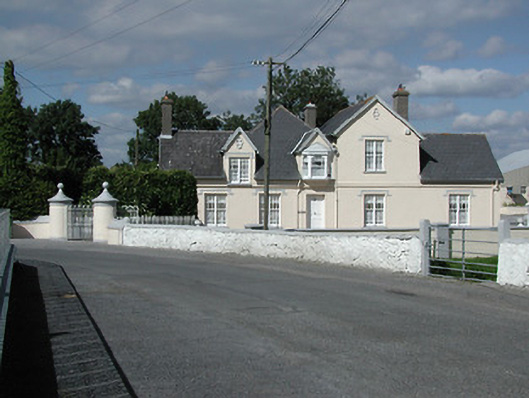 Moycarky Cottagehouse · 484 yd
 Church (in ruins), Grave Yd.Church · 497 yd
 CastleCastle, tower house · 674 yd
 Enclosure in MoycarkyEnclosure · 1633 yd
 Black FortFairy fort / earthen ringfort · 1675 yd
 Gift Horse GalleryGallery · 1.1 mi
 Horse and JockeyVisitor information · 1.7 mi
 Sweet ChestnutSweet Chestnut · 2.3 mi
 European ashEuropean ash · 2.3 mi
 Killough Hill (site of)Mountain / peak · 2.5 mi
 Gobban Saer's GraveArchaeological place · 3.1 mi