
What is recorded here
Situated on level ground on a slight rise in gently undulating terrain. A tower house (dims. 10.6m N-S x 10.4m E-W; wall T 2.1m) in ruinous condition, constructed of roughly coursed limestone rubble, only surviving at ground-floor level. The entrance appears to have been roughly centrally placed in the W wall at ground-floor level with a guardroom to the S. A second lobby to the N gave access to mural stairs and the main ground-floor chamber. This chamber (dims. 5.3m N-S x 4.3m E-W) was lit by three narrow loops set in wide, almost straight-sided embrasures. Only the jambs of the S light survive, chamfered externally and rebated internally with punch tooling. In the Civil Survey (1654-6) the tower house is described as 'a stump of a Castle inhabited and out of repaire with old buildings' (Simington 1931, vol. 1, 57). 'Wm. Cantwell of Mokarky Esqr.' and 'John Cantwell of Ballymckady in the Bary. of Clan Wm. Esqr. Irish Papists' are listed as proprietors (ibid.).
The above description is derived from 'The Archaeological Inventory of County Tipperary. Vol. 1 - North Tipperary' compiled by Jean Farrelly and Caimin O'Brien (Dublin: Stationery Office, 2002). In certain instances the entries have been revised and updated in the light of recent research.
Date of upload/revision: 22 September 2008
A local castle; wider significance not recorded.
The monument record does not grant public access. Check the route and ask the landowner before entering private land.
- What survives
- Recorded monument
Places near here
 Church (in ruins), Grave Yd.Church · 923 yd
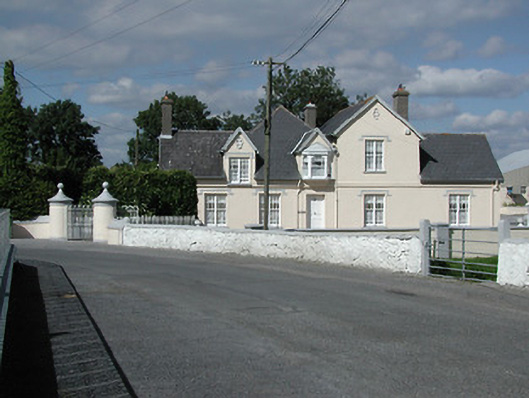 Moycarky Cottagehouse · 944 yd
 Bawn in MoycarkyBawn · 1020 yd
 Enclosure in MoycarkyEnclosure · 1.2 mi
 ToberavockyHoly well · 1.2 mi
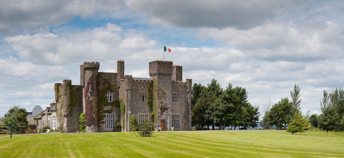 Graigue CastleCastle · 1.2 mi
 Gift Horse GalleryGallery · 1.4 mi
 Byrnes's WoodsForest · 2.1 mi
 Horse and JockeyVisitor information · 2.1 mi
 Wildlife CorridorWood · 2.1 mi
 Killough Hill (site of)Mountain / peak · 2.5 mi
 Lár na PáirceMuseum · 3.2 mi
Other information
Photo: Credit not shown in the picture search · Rights wording not checked; contact us if this picture should be removed