What is recorded here
Knocknaraha holds a degraded earthen ringfort with a sixteen-metre interior, an outer fosse and gaps cut through its bank. It sits at the east end of a low ridge, facing south and southeast pasture where rushes still slope across the floor. Another rath lies eighty metres west, suggesting a small cluster of occupied or marked ground rather than a lone boundary. The earth has been reduced in places to a shallow scarp, but the shape remains clear enough to walk around and imagine the lives that turned it into a home.
In rough pasture at the E end of a low ridge aligned E-W with good views to SE and S. Hachured on the 1840 and 1916 OS 6-inch maps. Listed as 'Enclosure' in the RMP (1996). A subcircular rath (int. 16.5m N-S) defined by a degraded earthen bank (Wth 3.1m; int. H 0.1m), reduced to a scarp in places (H 0.65m), and an outer fosse (Wth 3.1m; ext. D 0.15m). Both bank and fosse are visible from N to SSW and are densely overgrown elsewhere. Gaps run through the bank at ESE (Wth 2m) and ENE (1m). The interior slopes gently to the E and is covered in rushes. No internal features are visible. A rath (CL015-054----) lies c. 80m to the W.
Compiled by: Mary Tunney and Eve Campbell
Date of upload: 10 July 2023
The monument record does not grant public access. Check the route and ask the landowner before entering private land.
- What survives
- Recorded monument
Places near here
 Enclosure in Rannagh (killaspuglonane Ed)Enclosure · 791 yd
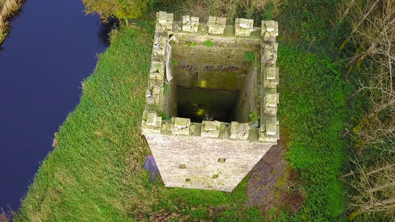 Enclosure in BallyfaudeenEnclosure · 925 yd
 Church in KillaspuglonaneChurch · 985 yd
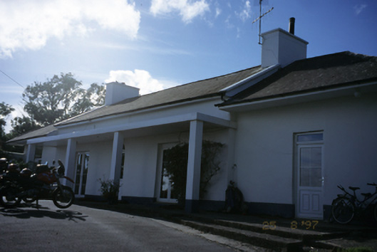 Sandfield Lodgehouse · 1126 yd
 Dough CastleRuins · 1.0 mi
 Lahinch BeachBeach / strand · 1.6 mi
 Site of Tullamore CastleCastle, unclassified · 1.8 mi
 Kilmanahn GraveyardRuins · 2.0 mi
 John P. Holland CentreMuseum · 2.3 mi
 Famine MemorialMemorial · 2.3 mi
 Bridget's Well;St Bridget's WellSpring · 2.9 mi
 Cliffs of Moher Visitor CentreVisitor information · 3.1 mi