What is recorded here
Situated on a gentle N-facing slope just below the summit of the hill. Circular area (diam. 26.5m) defined from NW-E by an earth and stone bank (Wth 3.5m; H 0.6m), visible elsewhere as a cropmark. An external fosse (Wth c. 3.5m; D 0.6m), once used as a farm trackway, also runs NW-E with an outer bank (Wth 2m; H 0.7m) - possibly the result of widening the track at some stage. No indication of an entrance or internal features.
The above description is derived from the published 'Archaeological Inventory of County Wicklow' (Dublin: Stationery Office, 1997). In certain instances the entries have been revised and updated in the light of recent research.
Date of upload/revision: 17 December 2008
The monument record does not grant public access. Check the route and ask the landowner before entering private land.
- What survives
- Recorded monument
Places near here
 Enclosure in Kilcarney LowerEnclosure · 1062 yd
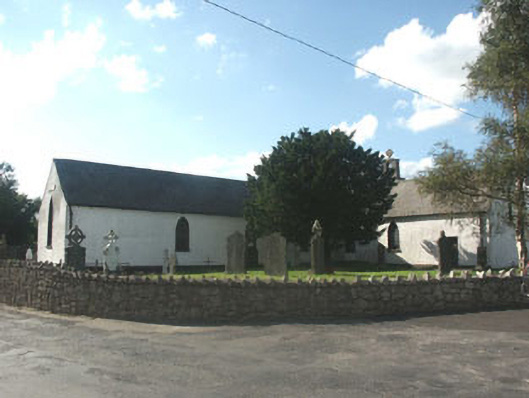 Knockananna Catholic Churchchurch/chapel · 1.3 mi
 Enclosure in ArdnaboyEnclosure · 1.6 mi
 Saint John's Church (Moyne)church/chapel · 2.0 mi
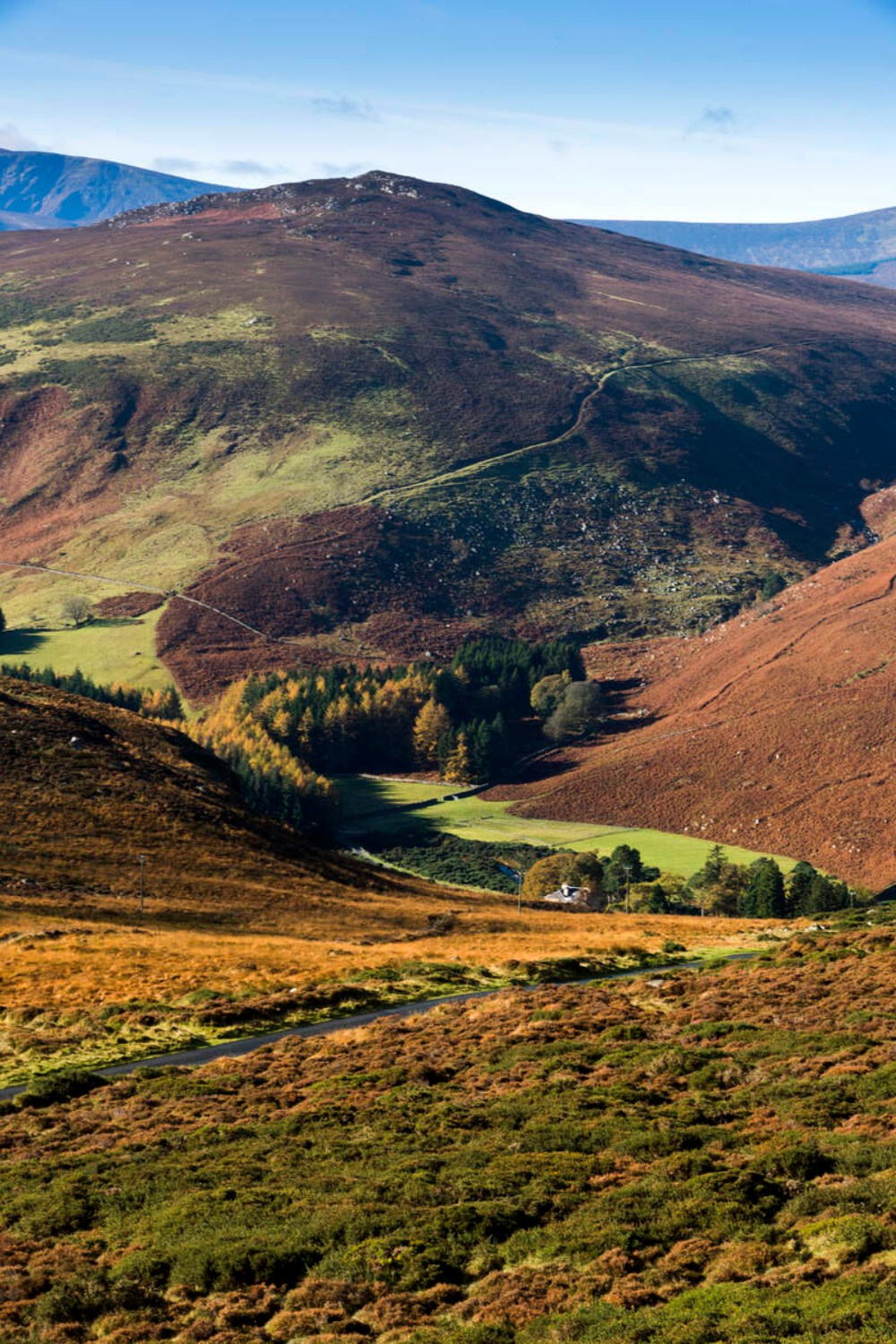 Ballycurragh HillMountain / peak · 2.4 mi
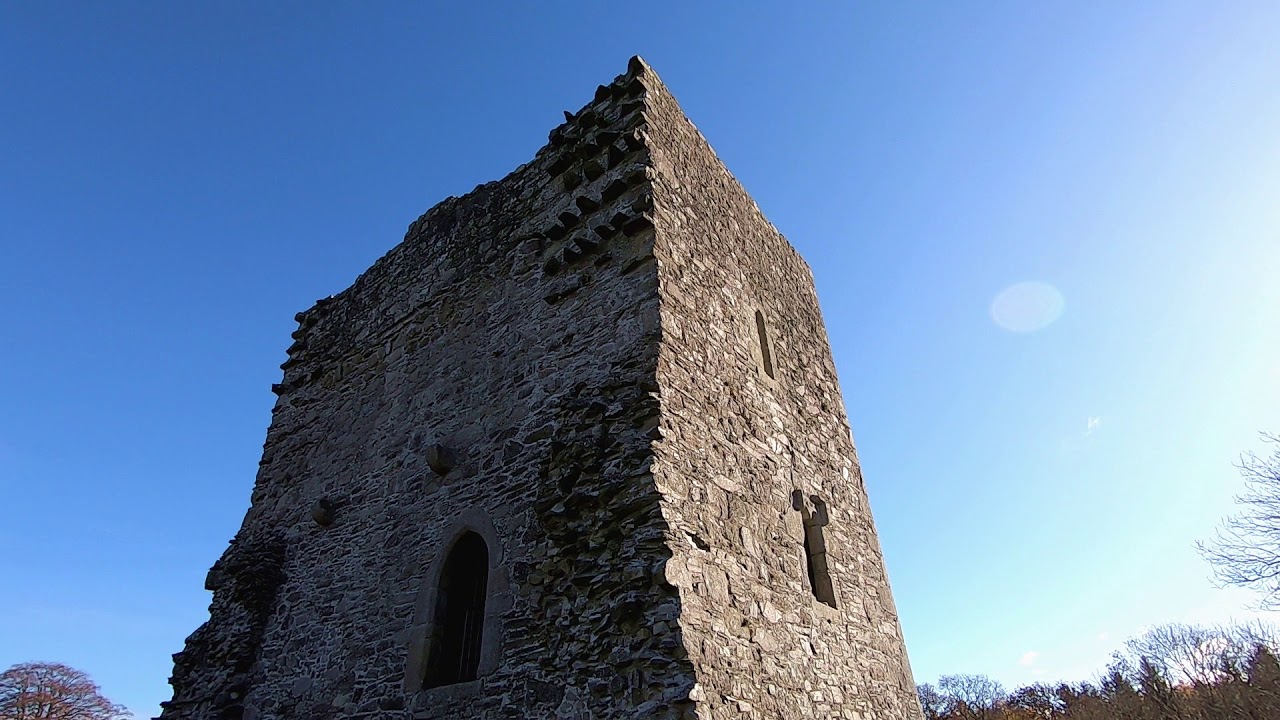 CastleCastle, motte · 2.9 mi
 Sessile OakSessile Oak · 3.2 mi
 Ballycumber HillMountain / peak · 3.3 mi
 The Stripped FlagsNamed rock · 3.4 mi
 Luke O'Toole MemorialMemorial · 4.1 mi
 (Site of) Castle LaurenceCastle, unclassified · 4.2 mi
 The Black StairsNamed rock · 4.8 mi