What is recorded here
Knocknageehy holds a thirty-four metre earthen ring on a NW-facing slope, its bank rising nearly two metres above the pasture. The fort is not perfect; to the NNW the ridge flattens, stone faces the outside and the ditch has filled. That damage may be human, seasonal or ancient. The ring still excludes, marks and resists forgetting.
In pasture on NW-facing slope. Circular area (diam. 34m) enclosed by earthen bank (max. int. H 1.8m); external fosse (D 0.95m) NNW->NW. To NNW, bank level with interior for 2m; exterior stone faced; fosse infilled.
The above description is derived from the published 'Archaeological Inventory of County Cork. Volume 1: West Cork' (Dublin: Stationery Office, 1992). In certain instances the entries have been revised and updated in the light of recent research.
Date of upload/revision: 14 January 2009
The monument record does not grant public access. Check the route and ask the landowner before entering private land.
- What survives
- Recorded monument
Places near here
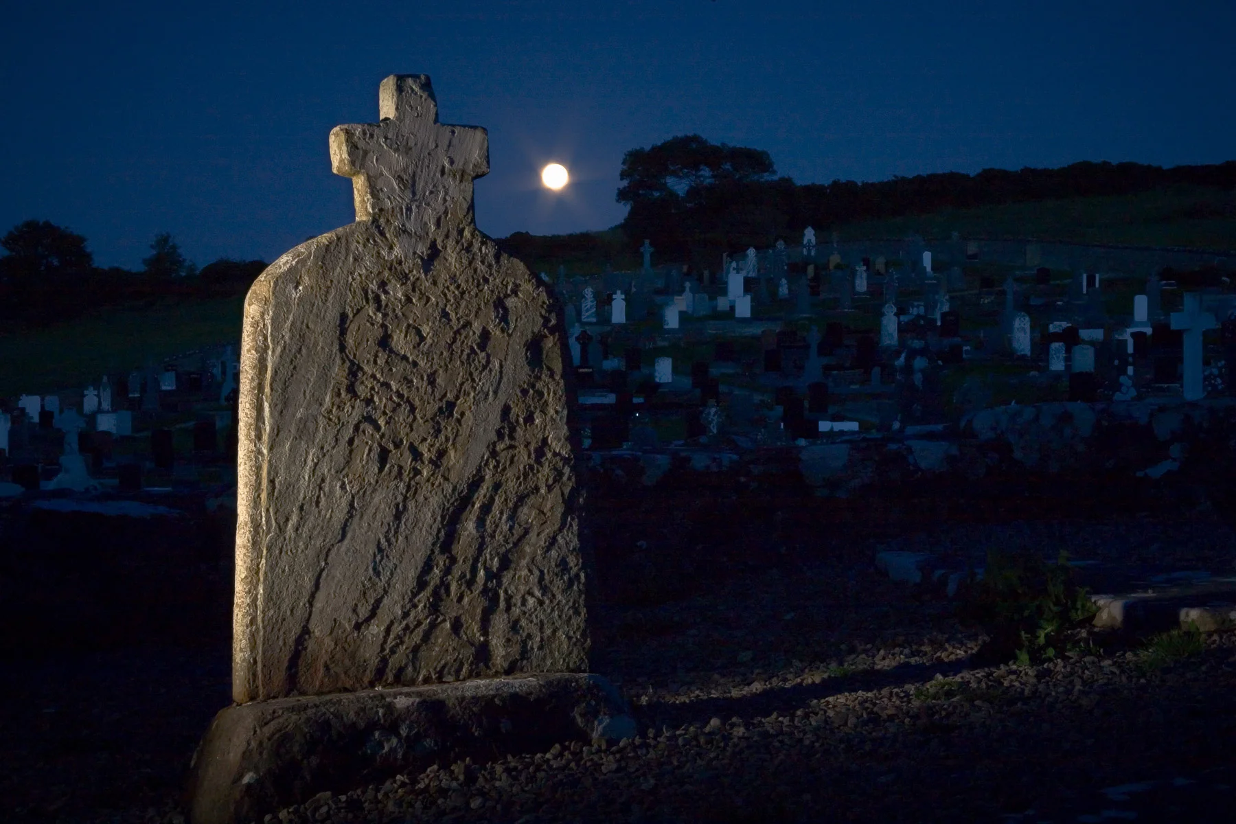
 Childrens Burial Gd (Disused)Burial ground · 194 yd
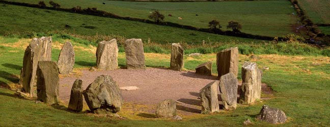
 Boulder-burial in KnocknageehyBoulder-burial · 638 yd
 Rathbarryfarm house · 902 yd
 Castle Freke WoodsForest · 1133 yd
 demesne walls/gates/railingsdemesne walls/gates/railings · 1248 yd
 Chilean myrtleChilean myrtle · 1427 yd
 Cottage MuseumMuseum · 1.0 mi
 Bawn in CastlefrekeBawn · 1.2 mi
 Lord Carbery's Cross TrailWalking route · 1.3 mi
 Little Island StrandBeach / strand · 1.4 mi
 Ownahincha Strand (West)Beach / strand · 1.4 mi
 Galley Head ViewViewpoint · 1.5 mi