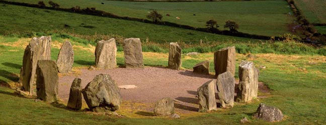
What is recorded here
Marked 'Children's Burial Ground' on OS 6-inch map (1842). Atop rocky knoll with views in all directions. Roughly oval area (40.7m E-W; 18m N-S) defined on all sides by scarped edge of knoll. Traces of enclosing stone wall to NE. No gravemarkers noted. Ruins of church at S edge (CO143-041002-); base of cross immediately outside to NE (CO143-041003-). Just NE of NE corner of chancel of church is low rectangular mound (H 0.45m; 3m x 2.2m) with some facing stones - possibly marking a grave.
The above description is derived from the published 'Archaeological Inventory of County Cork. Volume 1: West Cork' (Dublin: Stationery Office, 1992). In certain instances the entries have been revised and updated in the light of recent research.
Date of upload/revision: 14 January 2009
The monument record does not grant public access. Check the route and ask the landowner before entering private land.
- What survives
- Recorded monument
Places near here
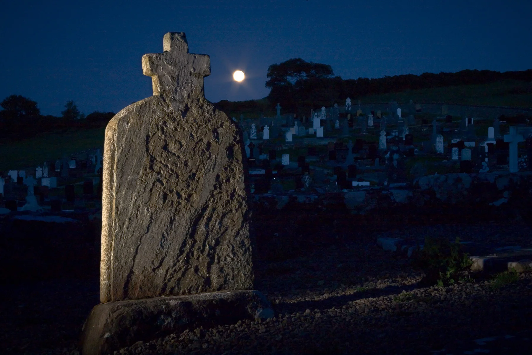 Boulder-burial in KnocknageehyBoulder-burial · 541 yd
 Corn MillMilling complex · 617 yd
 Rathbarryfarm house · 763 yd
 Castle Freke WoodsForest · 1069 yd
 Chilean myrtleChilean myrtle · 1335 yd
 demesne walls/gates/railingsdemesne walls/gates/railings · 1345 yd
 Cottage MuseumMuseum · 1.1 mi
 Bawn in CastlefrekeBawn · 1.1 mi
 Lord Carbery's Cross TrailWalking route · 1.2 mi
 Little Island StrandBeach / strand · 1.3 mi
 Ownahincha Strand (West)Beach / strand · 1.3 mi
 Galley Head ViewViewpoint · 1.5 mi
Other information
Photo: Credit not shown in the picture search · Rights wording not checked; contact us if this picture should be removed