What is recorded here
Knocknagallagh holds a broken earthen ring atop a Cork hill, its fifteen-foot bank cut by a modern fence but still enclosing a dark place where human hands may have shaped stone or soil into a hidden passage. The fort has watched pasture and storm for centuries, keeping its circle intact enough to resist forgetting even when boundary lines crossed it.
In pasture, atop hill. Originally circular area; enclosed by earthen bank (H 1.55m) NE->SW (diam. 25m) truncated to NW by field fence. No visible surface trace of bank on NW side of field fence. Possible Man-made underground passage(CO110-087---) in interior.
The above description is derived from the published 'Archaeological Inventory of County Cork. Volume 1: West Cork' (Dublin: Stationery Office, 1992). In certain instances the entries have been revised and updated in the light of recent research.
Date of upload/revision: 14 January 2009
The monument record does not grant public access. Check the route and ask the landowner before entering private land.
- What survives
- Recorded monument
Places near here
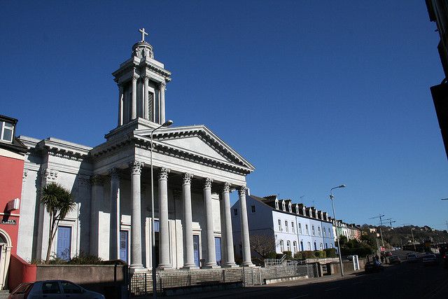 Catholic Church (in Ruins)Church · 1081 yd
 IndicatedFairy fort / earthen ringfort · 1173 yd
 Hoe Lodgehouse · 1266 yd
 Enclosure in Cashel MoreEnclosure · 1.2 mi
 Cottage Road WoodWood · 2.1 mi
 Monteen Castle (in Ruins)Castle, tower house · 3.0 mi
 Burrane Castle (Site of)Castle, unclassified · 3.1 mi
 English hollyEnglish holly · 3.1 mi
 Graveyard in KilmalodaGraveyard · 3.1 mi
 Tobar MacloonaboySpring · 3.3 mi
 Argideen Valley trailVisitor information · 3.3 mi
 Johnny Sheila MurphyMemorial · 3.4 mi