
What is recorded here
In rough grazing, on the summit of a hill known locally as Peakeen, and with extensive views in all directions. According to local information, there was a circular enclosure (diam. c. 20-25m) defined by upright stones (H c. 0.5-6m) set at intervals along the perimeter, in the level area to the NE of the summit of the hill. Most of the hilltop and its surrounds, including the location of the possible enclosure, has been disturbed by the construction of roads, the erection and enclosing of communication masts and electricity poles. There are no visible remains of the enclosure. MacNeill (1982, part 1, 212-3) recorded that this hilltop is associated with the festival of Lughnasa.
The above description is derived from 'The Archaeological Inventory of County Cork. Volume 5' (Dublin: Stationery Office, 2009).
Date of upload: 22 December 2009
This remains an important historical record, but the official description says the monument is no longer visible or has been destroyed. The monument record does not grant public access. Check the route and ask the landowner before entering private land.
- What survives
- No visible remains or recorded as destroyed
Places near here
 IndicatedChurch · 280 yd
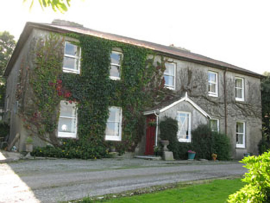 Hare Hillhouse · 1.2 mi
 Burnt mound in Cashel MoreBurnt mound · 1.3 mi
 Man-made underground passage in Farran (carbery East (e.d.) By.)Man-made underground passage · 1.3 mi
 Tobar MacloonaboySpring · 2.2 mi
 Monteen Castle (in Ruins)Castle, tower house · 2.4 mi
 English hollyEnglish holly · 2.6 mi
 Graveyard in KilmalodaGraveyard · 2.6 mi
 Cottage Road WoodWood · 2.7 mi
 Burrane Castle (Site of)Castle, unclassified · 3.4 mi
 Argideen Valley trailVisitor information · 3.5 mi
 Johnny Sheila MurphyMemorial · 3.6 mi
Other information
Photo: Credit not shown in the picture search · Rights wording not checked; contact us if this picture should be removed