What is recorded here
Marked only on the 1914 ed. of the OS 6-inch map, and situated on top of a rise, c. 100m from the S shore of a bay at the S angle of Oakport Lough. Described as an oval area defined by the remains of an earthen bank and traces of a fosse (Gannon 1972). It is now visible as a circular grass-covered area (diam. 23-24m) defined by a slight scarp (H 0.1-0.5m). Earthwork (RO007-064----) is c. 220m to the ESE.
Compiled by: Michael Moore
Date of upload: 24 August 2010
The monument record does not grant public access. Check the route and ask the landowner before entering private land.
- What survives
- Recorded monument
Places near here
 Cootehall Bridgebridge · 767 yd
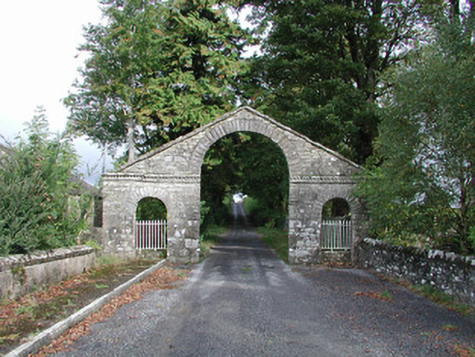 The Bawndemesne walls/gates/railings · 895 yd
 IndicatedBawn · 999 yd
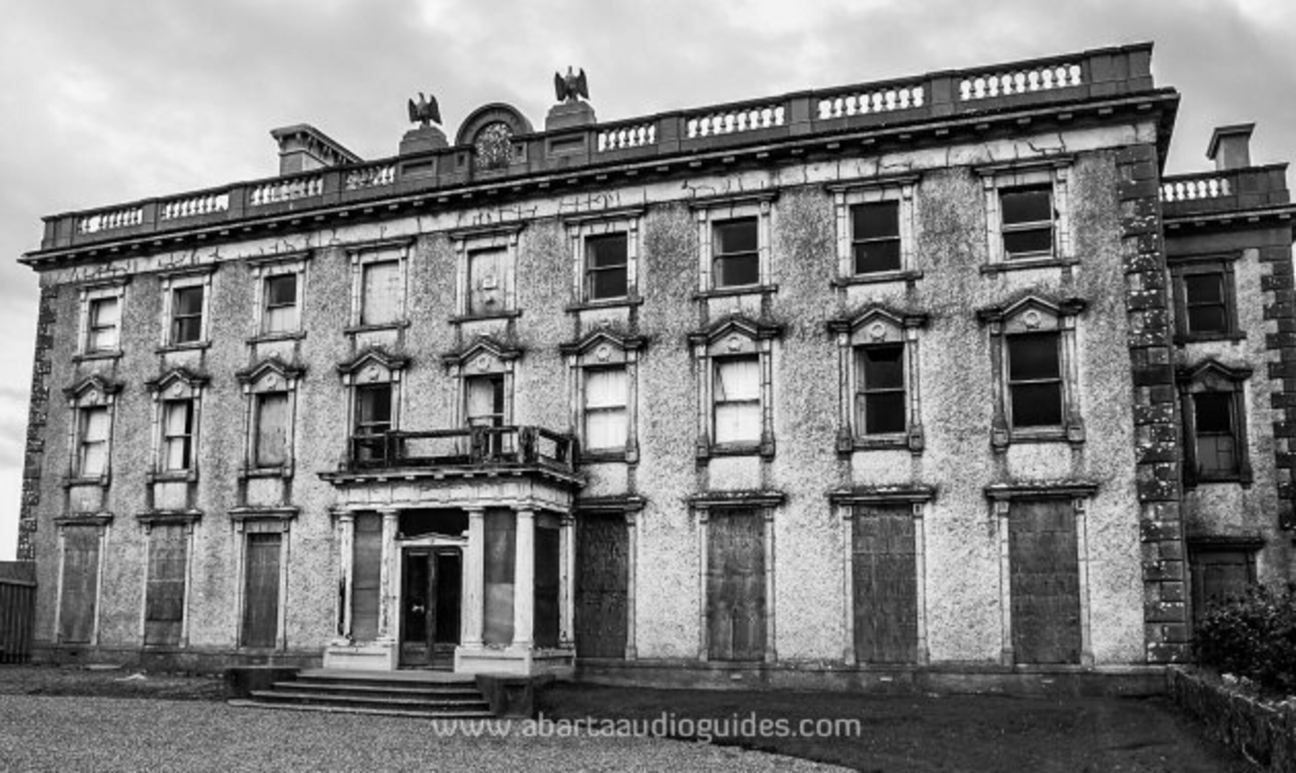 Enclosure in LisfarrellboyEnclosure · 1044 yd
 Embanked enclousreFairy fort / earthen ringfort · 1195 yd
 Hughestown WoodForest · 1.3 mi
 Longford HillMountain / peak · 2.3 mi
 Errironagh WoodForest · 2.3 mi
 Castle IslandIslet · 2.7 mi
 Green IslandIslet · 2.8 mi
 Lough Key Forest ParkWood · 3.0 mi
 Erris BayBay · 3.7 mi