What is recorded here
Knocklough holds a subcircular earthen ringfort on a NE-facing slope, its grass-covered dome measuring nearly thirty-nine metres across. The bank has thinned to a scarp in places, yet the outer fosse still marks the boundary where human hands shaped the land. It is easy to imagine people moving through the unseen entrance, reading the rise and fall of the earth as a living record rather than a dead ruin.
Located on a rise which is on a NE-facing slope. This is a subcircular grass-covered and domed area (dims 38.5m ENE-WSW; 34m NNW-SSE) that slopes down to the E (H 2.5m) and also to the N (H 1.5m) and S (H 2m). It is defined by an earthen bank (Wth of base 3-3.5m; int. H 0.5m; ext. H 1-1.3m) that is frequently reduced to a scarp (at NNW: Wth 1.5m; H 1.3m; at SSE: Wth 0.7m; H 0.6m). There is an outer fosse (Wth of top 4m; Wth of base 1m; ext. D 0.2m) ENE-ESE, but the original entrance is not identified.
The above description is derived from the published 'Archaeological Inventory of County Meath' (Dublin: Stationery Office, 1987). In certain instances the entries have been revised and updated in the light of recent research.
Compiled by: Michael Moore
Date of revision: 8 January 2019
The monument record does not grant public access. Check the route and ask the landowner before entering private land.
- What survives
- Recorded monument
Places near here
 Enclosure in KnockloughEnclosure · 295 yd
 Slieve GullionMountain / peak · 296 yd
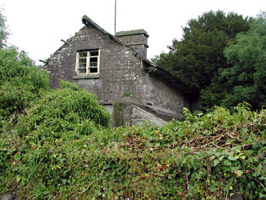 Loughcrew Housegate lodge · 1081 yd
 The Big DounArchaeological place · 1592 yd
 Keeper's CottageRuins · 1.1 mi
 The Keeper's FieldForest · 1.2 mi
 Green CastleCastle, unclassified · 1.2 mi
 Kells HillMountain / peak · 1.3 mi
 Bradley's WoodWood · 1.8 mi
 Moat of DiamorCastle, motte and bailey · 2.0 mi
 Zip WireHeritage attraction · 2.0 mi
 Enclosure in LoughcrewEnclosure · 1.1 mi