What is recorded here
In grassland on high ground on an E-facing slope just below hilltop with panoramic views in all directions. Circular area (int. diam. 29m NE-SW; 27m E-W) enclosed by an earth and stone bank (top Wth 1.3m; base Wth 4m; int. H 0.3m; ext. H 1m) visible from E through S to W only elsewhere destroyed with traces of a shallow narrow external fosse (base Wth 1m; top Wth 2.5m; ext. D 0.2m) visible at E only. Post and wire fence cuts across the N quadrant of the interior on an E-W axis, everything to N of this fence has been levelled. Hilltop location with commanding views in all directions. N half of ringfort has been levelled by land reclamation. No clear entrance feature visible, gap in bank at S appears to be a cattle gap (Wth 2m). Commanding location suggests monument was not a typical ringfort.
Compiled by: Jean Farrelly
Date of upload: 26 August 2011
The monument record does not grant public access. Check the route and ask the landowner before entering private land.
- What survives
- Recorded monument
Places near here
 Hilltop enclosure in Ballaghboy (graystown Par.)Hilltop enclosure · 1227 yd
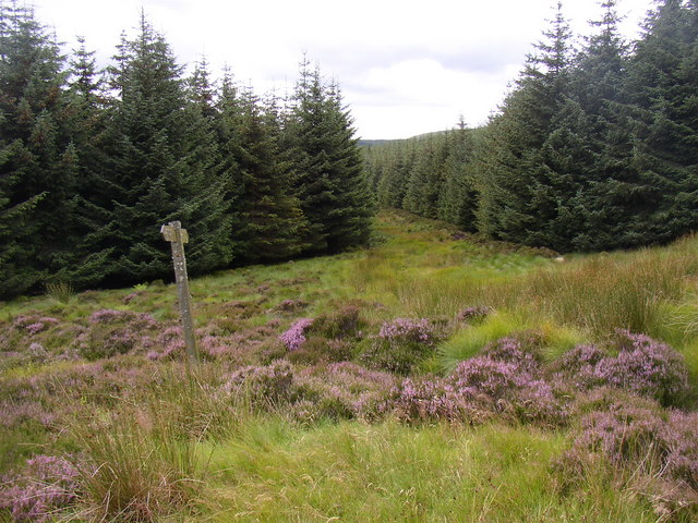 RoadRoad, road/trackway · 1689 yd
 Noan WoodWood · 1732 yd
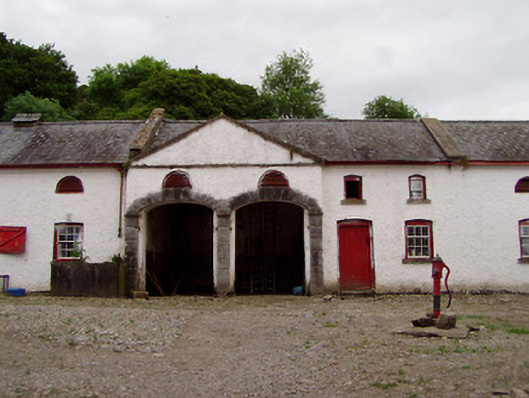 Noan Housefarmyard complex · 1.0 mi
 IndicatedFairy fort / earthen ringfort · 1.1 mi
 Site of CastleCastle, unclassified · 1.1 mi
 Castle (in ruins)Castle, tower house · 1.4 mi
 Taylor's WoodWood · 1.6 mi
 Ballinure HillMountain / peak · 2.0 mi
 Slieveardagh Heritage CentreVisitor information · 3.1 mi
 Gobban Saer's GraveArchaeological place · 3.3 mi
 Horse and JockeyVisitor information · 4.3 mi