What is recorded here
Knockeen holds a two-banked fairy fort on a steep west-facing slope, overlooking pasture and distance. The earth remains circular despite years of forgetting, large enough for a small household yet hidden beneath dense scrub. People may have lived there, feared there or simply avoided the trouble of clearing it. The fort does not need explanation; it keeps its shape on the hill and waits for someone willing to look closely.
Located on the W-facing slope of a steep hill in rolling pasture with good views to W and N. Indicated on the 1923 OS 6-inch map as a roughly circular area (diam. c. 30m) enclosed by two concentric earthen banks. The monument was not accessible when inspected due to dense scrub vegetation.
Compiled by: Denis Power
Date of upload: 30 June 2013
The monument record does not grant public access. Check the route and ask the landowner before entering private land.
- What survives
- Recorded monument
Places near here
 Holy well in TemplemichaelHoly well · 740 yd
 Enclosure in Grange EastEnclosure · 1055 yd
 Boskill Ho.Country house · 1393 yd
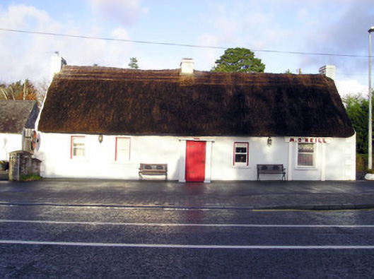 M. O'Neillhouse · 1565 yd
 Castle-erkin (Site of) partially hachuredCastle, unclassified · 1619 yd
 Caherconlish Castle (site of), HachuredCastle, ringwork · 1.3 mi
 Graveyard in AbingtonGraveyard · 2.4 mi
 Sliev Felim WayVisitor information · 3.9 mi
 KnockseefinMountain / peak · 4.5 mi
 St. Patrick's WellSpring · 5.5 mi
 ToberagaddySpring · 5.6 mi
 Kilteely HillMountain / peak · 5.9 mi