What is recorded here
On gently sloping pasture 90m S of townland boundary with Drominboy Upper and 490m W of standing stone (LI006-084----) on the summit of Knocksentry Hill. The site is described from cartographic and aerial photographic evidence only. Depicted as a large circular-shaped enclosure on the 1840 ed. OS 6-inch map. Shown as a large circular-shaped area (approx. int. diam. 65m) enclosed by a bank from NE-N-W-SW, reduced to a scarp from S-SE and levelled elsewhere with external fosse from NE-E. The present field entrance at SE may be the original entrance. OSi aerial photography suggests the faintest trace of a central enclosure (approx. diam. 25m) within the monument. Outline of tree-ringed monument clearly visible on Google Earth orthophotos taken 28/06/2018.
See attached Google Earth orthoimages
Compiled by: Edmond O’Donovan
Date of upload: 12 July 2020
The monument record does not grant public access. Check the route and ask the landowner before entering private land.
- What survives
- Recorded monument
Places near here
 CastleCastle, unclassified · 1168 yd
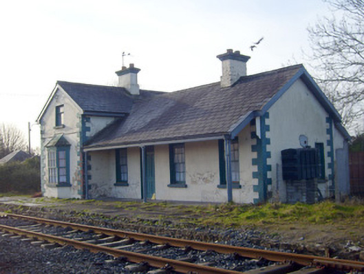 Lisnagry Railway Stationrailway station · 1290 yd
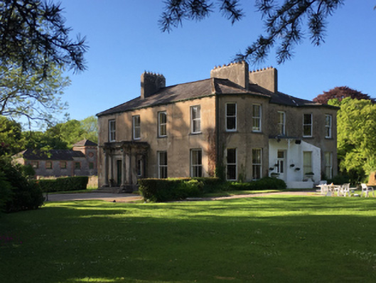 Thornfield Housecountry house · 1382 yd
 Enclosure in SallymountEnclosure · 1589 yd
 Lisnagry, HachuredFairy fort / earthen ringfort · 1694 yd
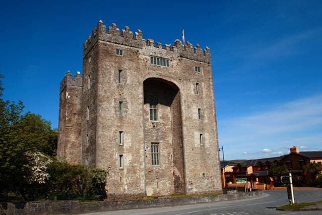 The Turret (in Ruins)Castle, unclassified · 1.9 mi
 Jackie PowerMemorial · 2.0 mi
 Campus MapVisitor information · 3.4 mi
 Visitor CentreVisitor information · 3.5 mi
 Fountain SculptureHeritage attraction · 3.5 mi
 Graveyard in AbingtonGraveyard · 4.5 mi
 Old PumpHeritage attraction · 4.8 mi