What is recorded here
Knockarley holds a thirty-three-metre earthen ring on a low upland hillock, its eastern entrance still marked by a narrow causewayed gap while a modern field fence cuts through the western defences. The northern bank has collapsed into a shallow scarp and the southern earthwork fades into grass, yet the circular shape remains clear enough to walk inside. People may have stood at that eastern opening, watched the upland sky, or kept livestock within the bank before the land changed around them.
Situated on a low hillock in upland area. Circular area (diam 33m E-W) enclosed by a poorly preserved earth and stone bank reduced at N to a scarp (ext. H 1m) with enclosing fosse (Wth 2m; ext. D 0.5m) and a barely discernible external bank best preserved at S. Causewayed entrance gap (Wth 2.4m) at E. Field fence intersects site at W destroying the outer defences of the site.
The above description is derived from the published 'Archaeological Inventory of County Offaly' (Dublin: Stationery Office, 1997). In certain instances the entries have been revised and updated in the light of recent research.
Date of upload: 23 May 2011
The monument record does not grant public access. Check the route and ask the landowner before entering private land.
- What survives
- Recorded monument
Places near here
 IndicatedFairy fort / earthen ringfort · 318 yd
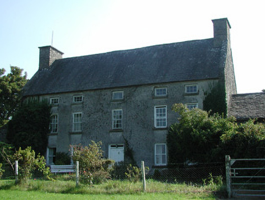 Knockarley Housefarm house · 604 yd
 Enclosure in KnockarleyEnclosure · 831 yd
 Grange WoodWood · 1139 yd
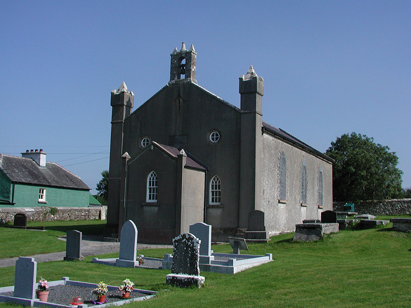 Aghancon Churchchurch/chapel · 1281 yd
 Court in RuinsHouse, fortified house · 1.5 mi
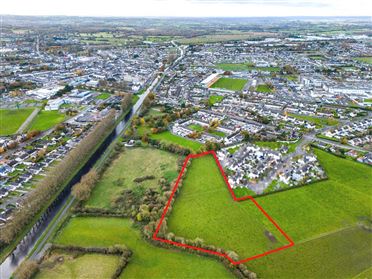 Ballywilliam WoodWood · 1.5 mi
 Drummin HillMountain / peak · 1.5 mi
 CastleCastle, tower house · 1.6 mi
 Leap CastleCastle · 1.6 mi
 Saint Kieran's WellSpring · 1.7 mi
 Saint Dominick's WellSpring · 2.7 mi