
What is recorded here
Court in Ruins stands as a two-storey fortified house in Newtown, Ballybrit By., County Offaly, probably dating to the 17th century. Its rough rubble walls still hold fireplaces at both gable ends, while a surrounding bawn wall and corner turrets with gun loops suggest a residence built for defense as much as domestic life. The missing west wall and possible moat bridge hint at a boundary once crossed under threat, leaving behind a shape both home and fortress.
Situated on low-lying land in upland area. Two storey fortified house (ext. dims. 11.2m N-S; 8.1m E-W; wall T 1m) built of roughly coursed rubble masonry. The N, S and E walls survive with the W wall totally destroyed. Two fireplaces survive one at either gable end at both levels with plain rectangular chimney stacks. The first floor was carried on wooden beams supported in the thickness of the walls. There are four rectangular opes on the E wall, two at ground floor and two at first floor level. There is a possible doorway at N end of W wall. Evidence of wall-walk at first floor level survives. Bawn wall (dims. 25.5m E-W; 23m N-S; wall T 0.6m) encloses this building on the N, S and E with corner turret at the SW and NE angles. There was a possible bridge at S end of W wall which crossed over possible moat. Both turrets (ext. diam. 4.2m) are two storeys high with several gun loops visible and were accessed from inside the bawn. Probably a 17th-century fortified house.
The above description is derived from the published 'Archaeological Inventory of County Offaly' (Dublin: Stationery Office, 1997). In certain instances the entries have been revised and updated in the light of recent research.
Date of upload: 23 May 2011
The monument record does not grant public access. Check the route and ask the landowner before entering private land.
- What survives
- Recorded monument
Places near here
 Enclosure in Newtown (ballybrit By.)Enclosure · 744 yd
 Drummin HillMountain / peak · 1127 yd
 IndicatedEnclosure · 1230 yd
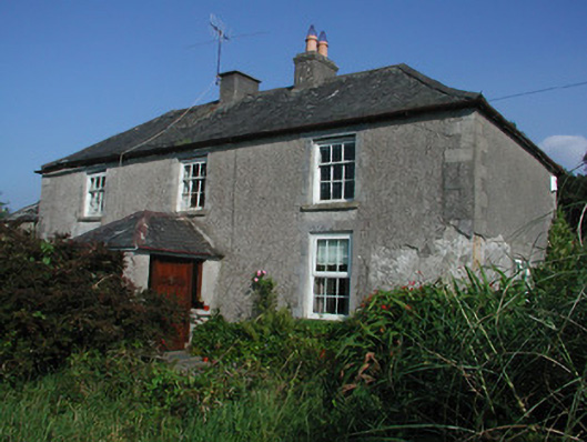 Tulla Housefarm house · 1692 yd
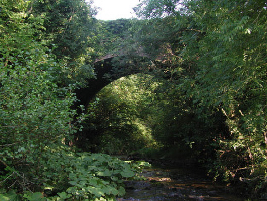 Aghagurty Bridgebridge · 1741 yd
 Site of Tulla CastleCastle, unclassified · 1744 yd
 Tulla Castle (site of)Archaeological place · 1.0 mi
 Grange WoodWood · 2.0 mi
 Cumber HillMountain / peak · 2.0 mi
 Saint Dominick's WellSpring · 2.0 mi
 Saint Kieran's WellSpring · 2.5 mi
 Derrykeel WoodWood · 2.5 mi
Other information
Photo: Credit not shown in the picture search · Rights wording not checked; contact us if this picture should be removed