What is recorded here
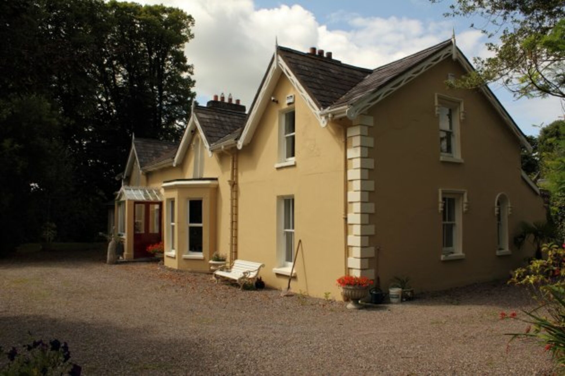
Knockanemore held a true earthen ringfort on a natural knoll until locals levelled it around 1900. A house now sits upon part of the vanished ridge, embedding the loss inside everyday life. The fairy name may be later invention, but the earth was real, shaped, used and taken. Forgetting is not the same as destroying; the ridge still bends beneath the foundation.
Shown on 1842 and 1903 OS 6-inch maps as hachured arc S->NW. Site enclosed by 200ft contour line on 1903 and 1939 OS 6-inch maps. On natural knoll. House now occupies part of site. According to local information, ringfort was levelled here c. 1900.
The above description is derived from the published 'Archaeological Inventory of County Cork. Volume 3: Mid Cork' (Dublin: Stationery Office, 1997). In certain instances the entries have been revised and updated in the light of recent research.
Date of upload/revision: 14 January 2009
A fairy fort or earthen ringfort in Knockanemore, Muskerry East, is a likely early-medieval defensive or domestic site, indicated by its hachured arc on 19th-century maps and location on a natural knoll. Local tradition associates such sites with fairy lore, reflecting their enigmatic status in Irish cultural memory.
The monument record does not grant public access. Check the route and ask the landowner before entering private land.
- What survives
- Recorded monument
Places near here
 St John the Baptist Roman Catholic Churchchurch/chapel · 483 yd
 St John the Baptist Cath ChChurch · 494 yd
 Slab-lined burial in Grange (east Muskerry By.)Slab-lined burial · 1582 yd
 Man-made underground passage in KillumneyMan-made underground passage · 1594 yd
 Graveyard in Carrigane (muskerry East By.)Graveyard · 1667 yd
 Iniscarra Dam ViewViewpoint · 1.4 mi
 Grange HillMountain / peak · 1.6 mi
 Castle Inch (in Ruins)Castle, tower house · 1.8 mi
 Hugh MaguireMemorial · 2.1 mi
 Kilcrea Castle (in Ruins)Castle, tower house · 2.1 mi
 Kilcrea CastleWood · 2.1 mi
 Cave in Ballincollig (muskerry East By., Carrigrohane Par.)Cave · 3.1 mi