What is recorded here
Knockanea holds a twenty-five-metre earthen ring on a wet, north-west facing slope, its shallow bank and wide flat ditch marking a boundary humans crossed or avoided. The southern dip invites entry while the eastern interior slopes downward, suggesting people lived there long enough to shape the land for rain and light. Local tradition calls it a fairy fort, which may simply mean the owners vanished or refused recognition. The measurement preserves what remains: a small circle large enough for debate, doubt and memory.
Situated on a NW-facing slope in gently undulating, poorly-drained pasture, with good views in all directions. The monument consists of a circular area (diam. 25m) enclosed by an earthen bank (ext. H 0.1m; Wth 3m; int. H 0.9m) with an external fosse (Wth 2.5m; D 0.6m). There is a dip (Wth 10m) in the bank at SSE. The fosse is wide and flat-bottomed. The interior surface is uneven and slopes down to the E.
Compiled by: Denis Power
Date of upload: 20 June 2013
The monument record does not grant public access. Check the route and ask the landowner before entering private land.
- What survives
- Recorded monument
Places near here
 Field system in KnockaneaField system · 131 yd
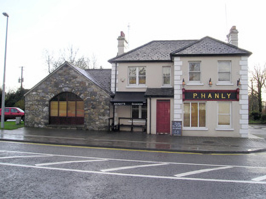 P. Hanlyhouse · 537 yd
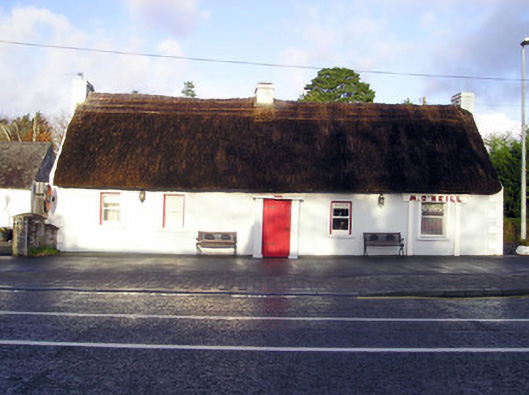 M. O'Neillhouse · 548 yd
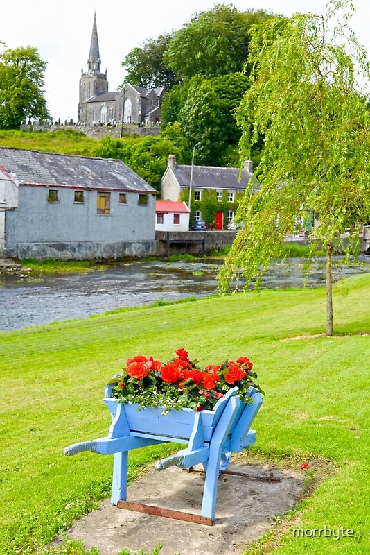 BarrowBarrow, ring-barrow · 797 yd
 CastleCastle, unclassified · 1177 yd
 TowerCastle, unclassified · 1.1 mi
 St Lawrence's WellSpring · 2.3 mi
 Graveyard in AbingtonGraveyard · 2.3 mi
 Sliev Felim WayVisitor information · 3.8 mi
 KnockseefinMountain / peak · 5.1 mi
 Skool HillMountain / peak · 5.6 mi
 St. Patrick's WellSpring · 6.1 mi