What is recorded here
Knockanea holds a twenty-metre earthen ring on an east-facing slope, visible only because cattle have poached the scrub and revealed its bank. The field boundary cuts through the eastern edge, suggesting the fort served the land rather than dominating it. People may have watched weather, herded animals or marked territory from that small circle before forgetting its name.
Situated immediately W of a field boundary, on an E-facing slope in gently undulating pasture, with good views in all directions. The monument is obscured by dense scrub vegetation and is heavily poached by cattle. Indicated on the 1923 OS 6-inch map as a circular enclosure (diam. c. 20m) truncated at E by a field boundary. It is now evident as a circular area enclosed by an earthen bank (ext. H 0.5m; Wth 1.3m; int. H 0.3m).
Compiled by: Denis Power
Date of upload: 20 June
The monument record does not grant public access. Check the route and ask the landowner before entering private land.
- What survives
- Recorded monument
Places near here
 Field system in KnockaneaField system · 537 yd
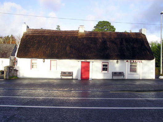 M. O'Neillhouse · 655 yd
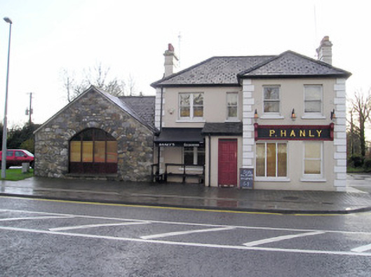 P. Hanlyhouse · 688 yd
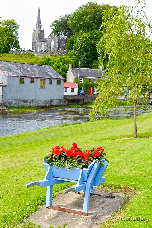 BarrowBarrow, ring-barrow · 1201 yd
 CastleCastle, unclassified · 1533 yd
 Caherconlish Castle (site of), HachuredCastle, ringwork · 1.3 mi
 Graveyard in AbingtonGraveyard · 2.2 mi
 Sliev Felim WayVisitor information · 3.7 mi
 KnockseefinMountain / peak · 5.0 mi
 St. Patrick's WellSpring · 6.0 mi
 Kilteely HillMountain / peak · 6.4 mi
 Flat cemetery in Knockainy WestFlat cemetery · 9.3 mi