What is recorded here
Fairy fort in Knockanea, County Limerick: a 20-metre earthen ring with a scarped edge and shallow outer ditch, set in flat pasture where views run unbroken in every direction. Animals still press along the western scarp, wearing the old boundary into a living track. The ground slopes south inside the circle, as if the ring were shaped to catch rain, shadow or breath rather than keep out arrows.
Situated immediately NNE of a field boundary in flat pasture with good views in all directions. The monument consists of a roughly circular area (20m E-W; 19.7m N-S) defined by a scarped edge (Wth 8.8m; H 1.3m), with an external fosse (Wth 2.4m; D 0.1m) evident from N to SW. An animal track runs N-S along the scarp on the W side. The interior surface slopes down to the S.
Compiled by: Denis Power
Date of upload: 20 June 2013
The monument record does not grant public access. Check the route and ask the landowner before entering private land.
- What survives
- Recorded monument
Places near here
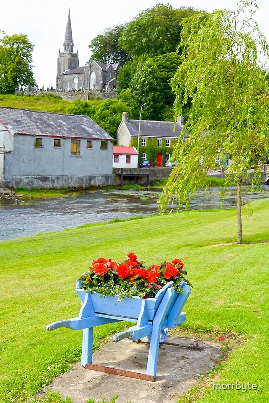 BarrowBarrow, ring-barrow · 388 yd
 Field system in KnockaneaField system · 481 yd
 Water millWater mill, unclassified · 638 yd
 CastleCastle, unclassified · 663 yd
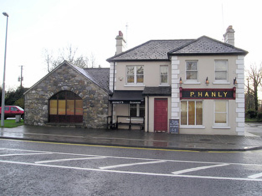 P. Hanlyhouse · 955 yd
 TowerCastle, unclassified · 1468 yd
 St Lawrence's WellSpring · 2.0 mi
 Graveyard in AbingtonGraveyard · 2.6 mi
 Sliev Felim WayVisitor information · 4.1 mi
 KnockseefinMountain / peak · 5.2 mi
 Skool HillMountain / peak · 5.3 mi
 St. Patrick's WellSpring · 6.1 mi