What is recorded here
Knockanea holds a small earthen ringfort where a scarped edge still marks the boundary of human life. The uneven ground slopes south and southeast, suggesting rooms, hearths or footsteps that time has smoothed into pasture. The fairies may have taken the names and stories, but the soil kept the shape of the people who stood there watching the horizon.
Situated in low-lying pasture, with good views in all directions. Roughly circular area (19m E-W; 17.5m N-S) defined by a scarped edge (Wth 1.5m; H 0.4m). The interior surface is uneven and slopes down to S and SE.
Compiled by: Denis Power
Date of upload: 27 June 2013
The monument record does not grant public access. Check the route and ask the landowner before entering private land.
- What survives
- Recorded monument
Places near here
 Field system in KnockaneaField system · 296 yd
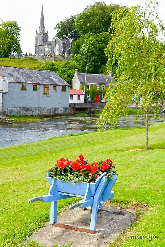 BarrowBarrow, ring-barrow · 500 yd
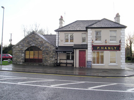 P. Hanlyhouse · 573 yd
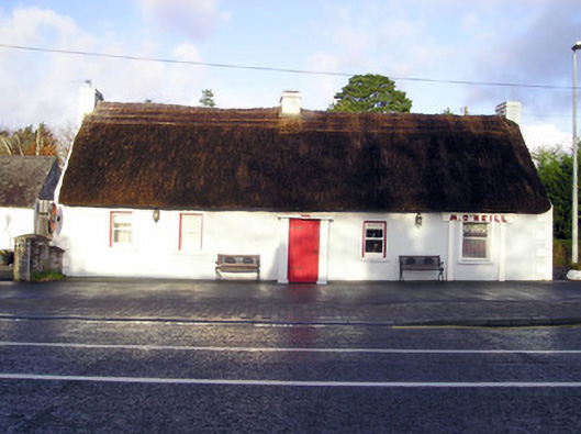 M. O'Neillhouse · 627 yd
 CastleCastle, unclassified · 978 yd
 TowerCastle, unclassified · 1.0 mi
 St Lawrence's WellSpring · 2.1 mi
 Graveyard in AbingtonGraveyard · 2.4 mi
 Sliev Felim WayVisitor information · 3.9 mi
 KnockseefinMountain / peak · 5.4 mi
 Skool HillMountain / peak · 5.4 mi
 Campus MapVisitor information · 6.3 mi