What is recorded here
On a gentle SE-facing slope of hill in gently undulating pastureland. A large, roughly circular area (diam. 40.8m E-W; N-S not obtainable) enclosed by a very stoney bank (Wth 2m crest; 2.9m base; int. H 0.47m-0.75m upslope; ext. H 0.57m-1.12m downslope) which is largely reduced to scarp in the SE quadrant (1.12m H). The S side of the ringfort is badly overgrown with brambles and scrub. There is a possible entrance (Wth 2.4m) in the E quadrant, the bank terminates on N side, however, the bank to the S is reduced to scarp.
Compiled by: Jean Farrelly
Date of upload: 13 January 2014
The monument record does not grant public access. Check the route and ask the landowner before entering private land.
- What survives
- Recorded monument
Places near here
 Knockane Castle ruinsCastle · 392 yd
 Enclosure in Parkaderreen (shanrahan Par.)Enclosure · 1269 yd
 Enclosure in KilroeEnclosure · 1302 yd
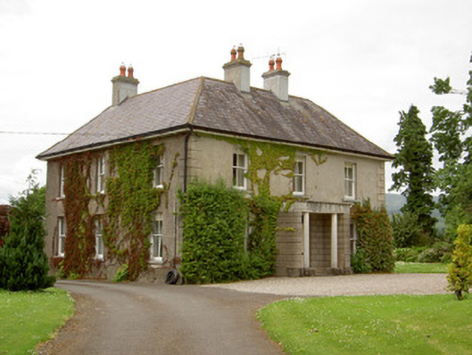 Kilcoran Househouse · 1450 yd
 Bawn in CloheenafishogeBawn · 1538 yd
 Catholic Church of Our Lady and Saint Kieranchurch/chapel · 1.0 mi
 Rehill WoodForest · 1.9 mi
 Garrycloher WoodForest · 2.4 mi
 SlieveanardMountain / peak · 4.3 mi
 Mitchelstown CaveCave · 4.4 mi
 LaghtshanaquillaMountain / peak · 4.7 mi
 Cahir CastleHeritage attraction · 4.9 mi