What is recorded here
Situated on a slight NE-facing slope. The cropmark of three concentric fosse-features, the innermost being circular (diam. c. 30m), the outermost D-shaped (dims. c. 90m NE-SW; c. 50m NW-SE) is visible on aerial photograph (CUCAP, AYK 23). The enclosing features are truncated by a NE-SW road bank at SE. The enclosure is not visible at ground level in pasture.
The above description is derived from the published 'Archaeological Inventory of County Wexford' (Dublin: Stationery Office, 1996). In certain instances the entries have been revised and updated in the light of recent research.
Compiled by: Michael Moore
Date of upload/revision: 4 February 2014
The monument record does not grant public access. Check the route and ask the landowner before entering private land.
- What survives
- Recorded monument
Places near here
 Clonlard Housefarm house · 978 yd
 Marys WellHoly well · 1245 yd
 Enclosure in LewistownEnclosure · 1600 yd
 Booley Bay BeachBeach / strand · 1.0 mi
 mill (water)mill (water) · 1.0 mi
 Dollar Bay BeachBeach / strand · 1.1 mi
 Not inidcatedBawn · 1.1 mi
 Carricjmore CliffCliff · 1.1 mi
 AshgroveVisitor information · 1.8 mi
 IndicatedCastle, ringwork · 1.8 mi
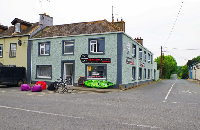 Hook Tourism (Fethard Office)Visitor information · 2.0 mi
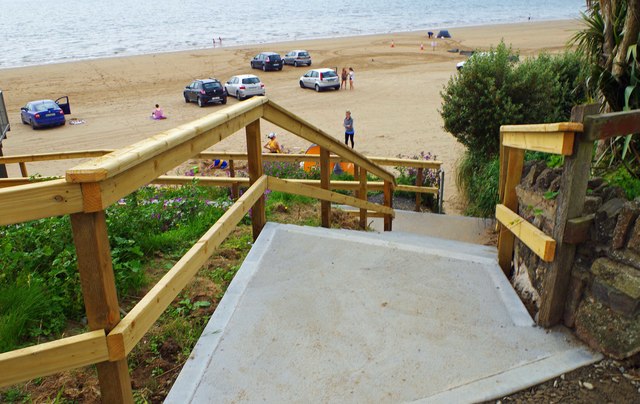 Duncannon BeachVisitor information · 2.5 mi